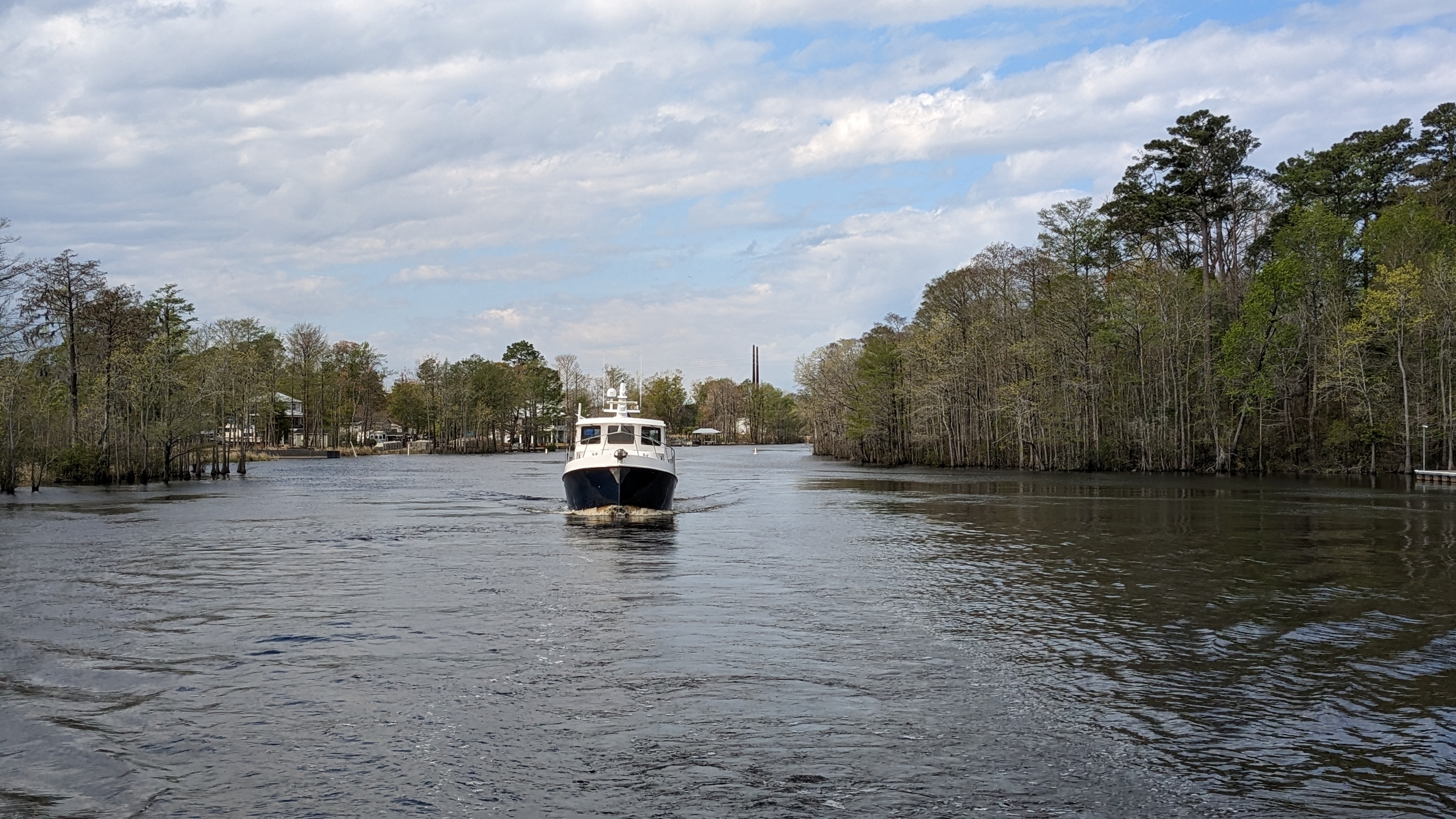
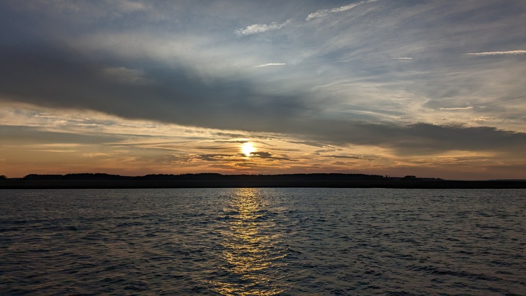
Days 70-72: March 28-30, 2023
The end of March took us to North Carolina’s Outer Banks or OBX for short. Steve and Barbara are engrossed in the Outer Banks TV series and were excited to go.
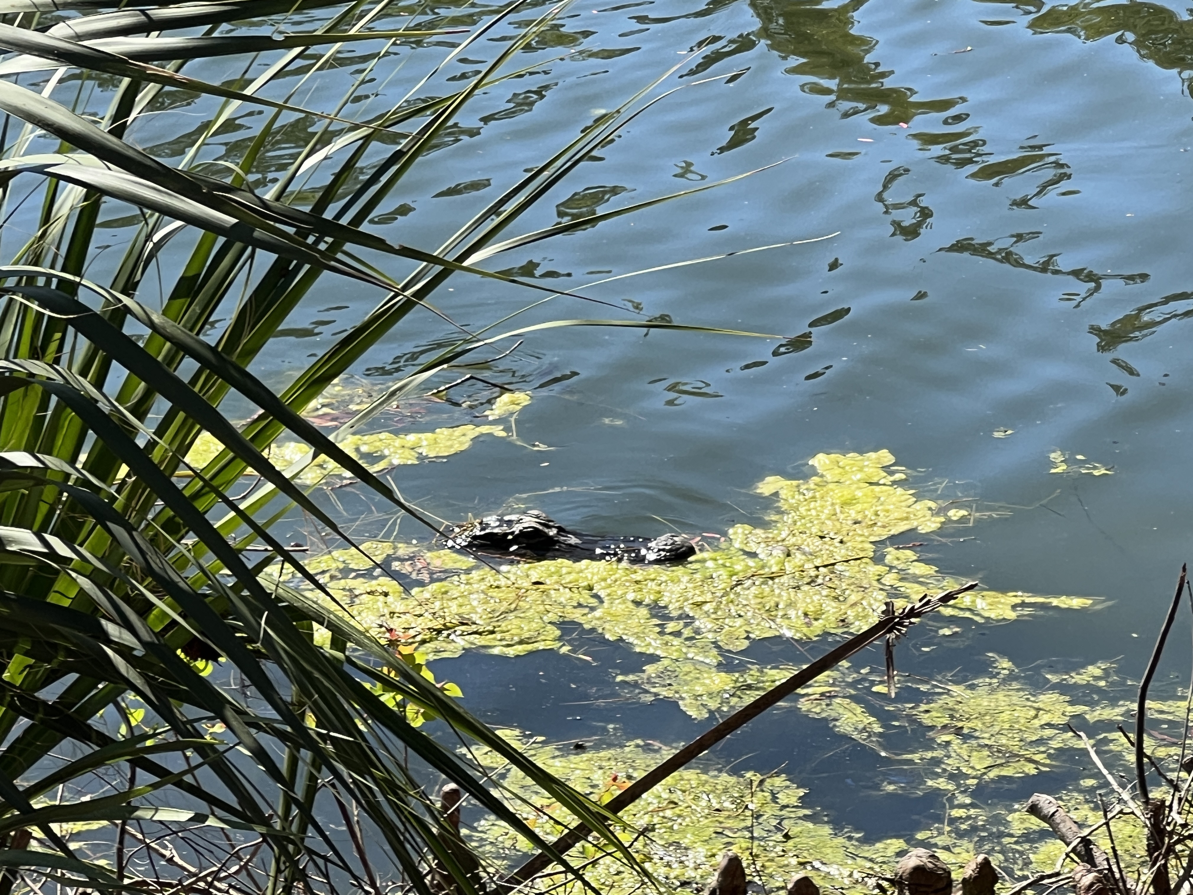
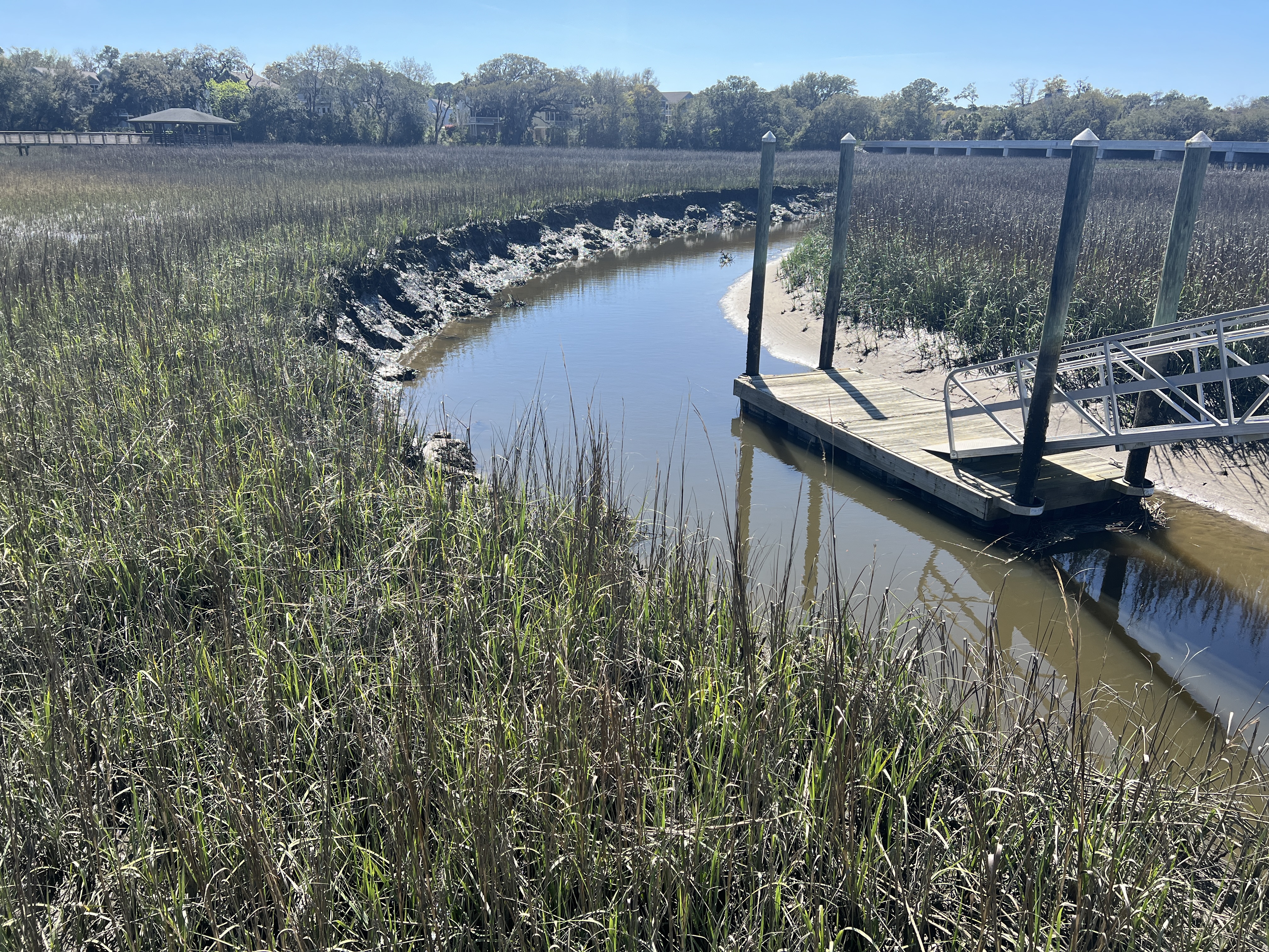
This voyage pretty much switched me from Navionics to Aqua Map. Or maybe at least favor Aqua Map. I’ve had many people ask how you run aground. Usually with the added comments don’t you have charts? Don’t you have a working depth sounder? The answer is yes! Well then how? The reality is the southeast coast is shallow and it’s not always the same as the charts. The hurricanes and storms cause shoaling. Then what about the depth sounder? Yep, it will certainly tell you when you are aground. You will not necessarily be able to stop when the sounder tells you one second you are in 7 feet of water and the next you are on land. It just happens that fast.
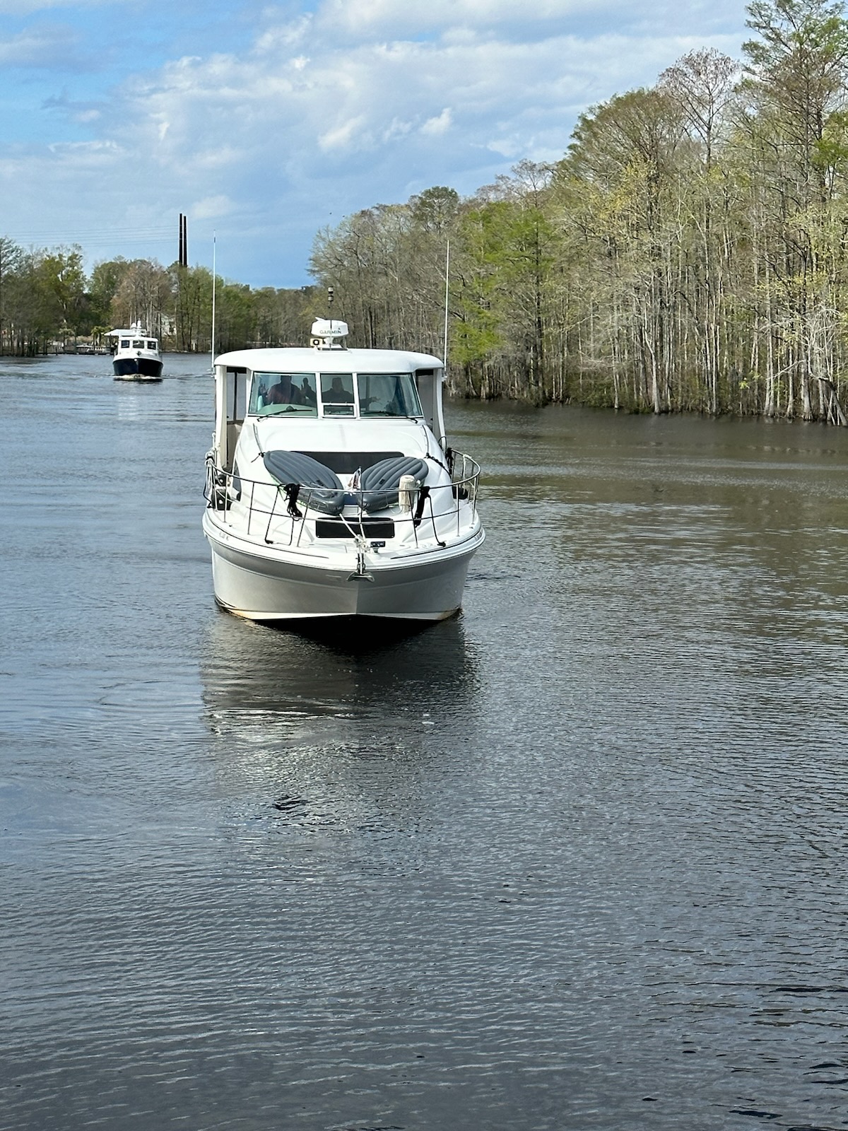
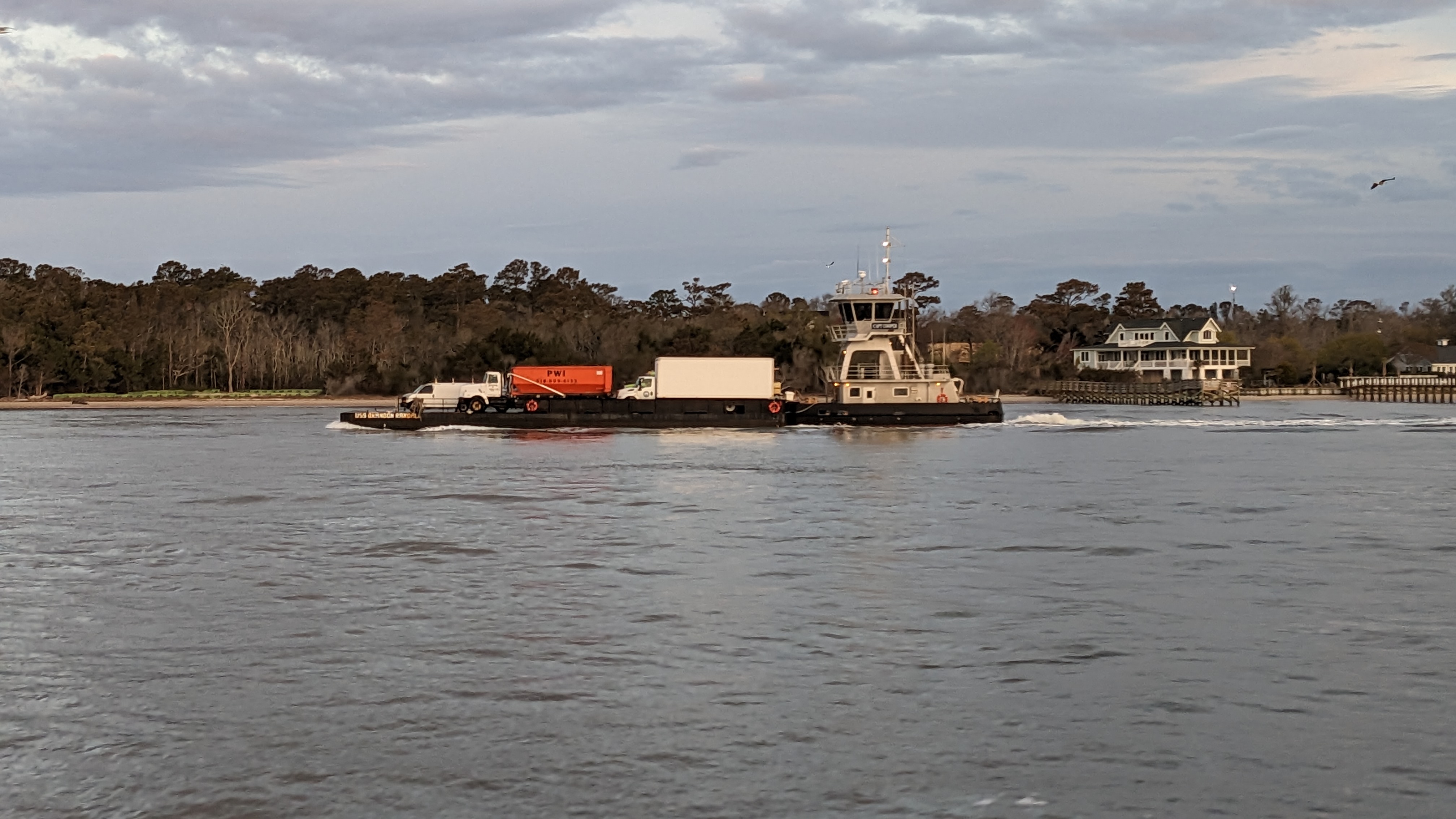
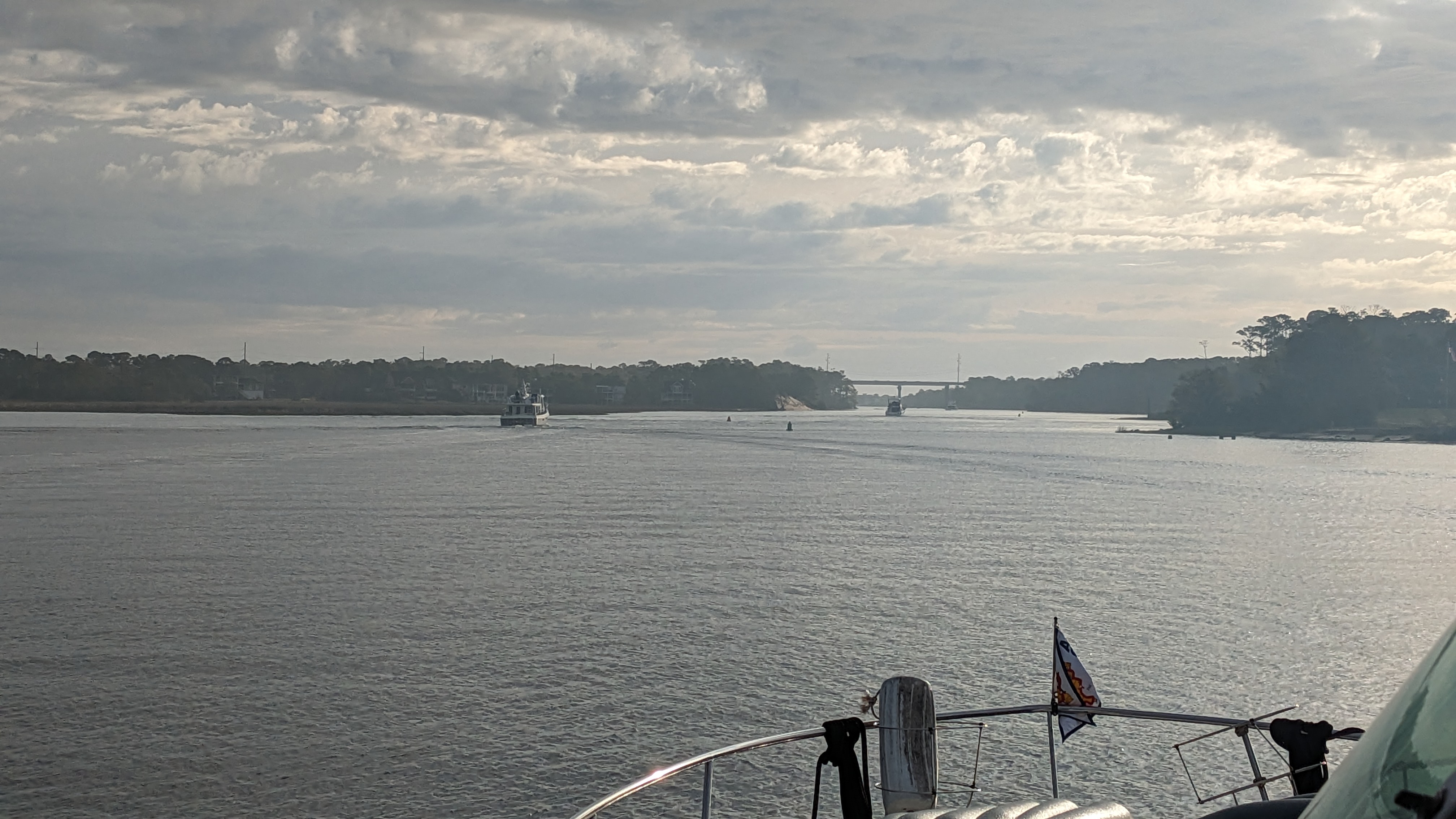
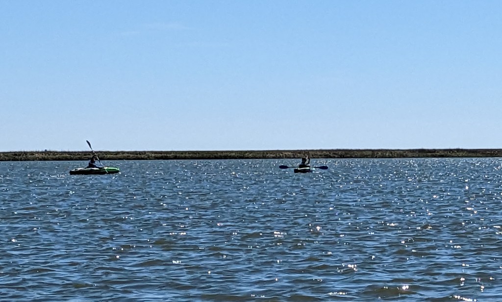
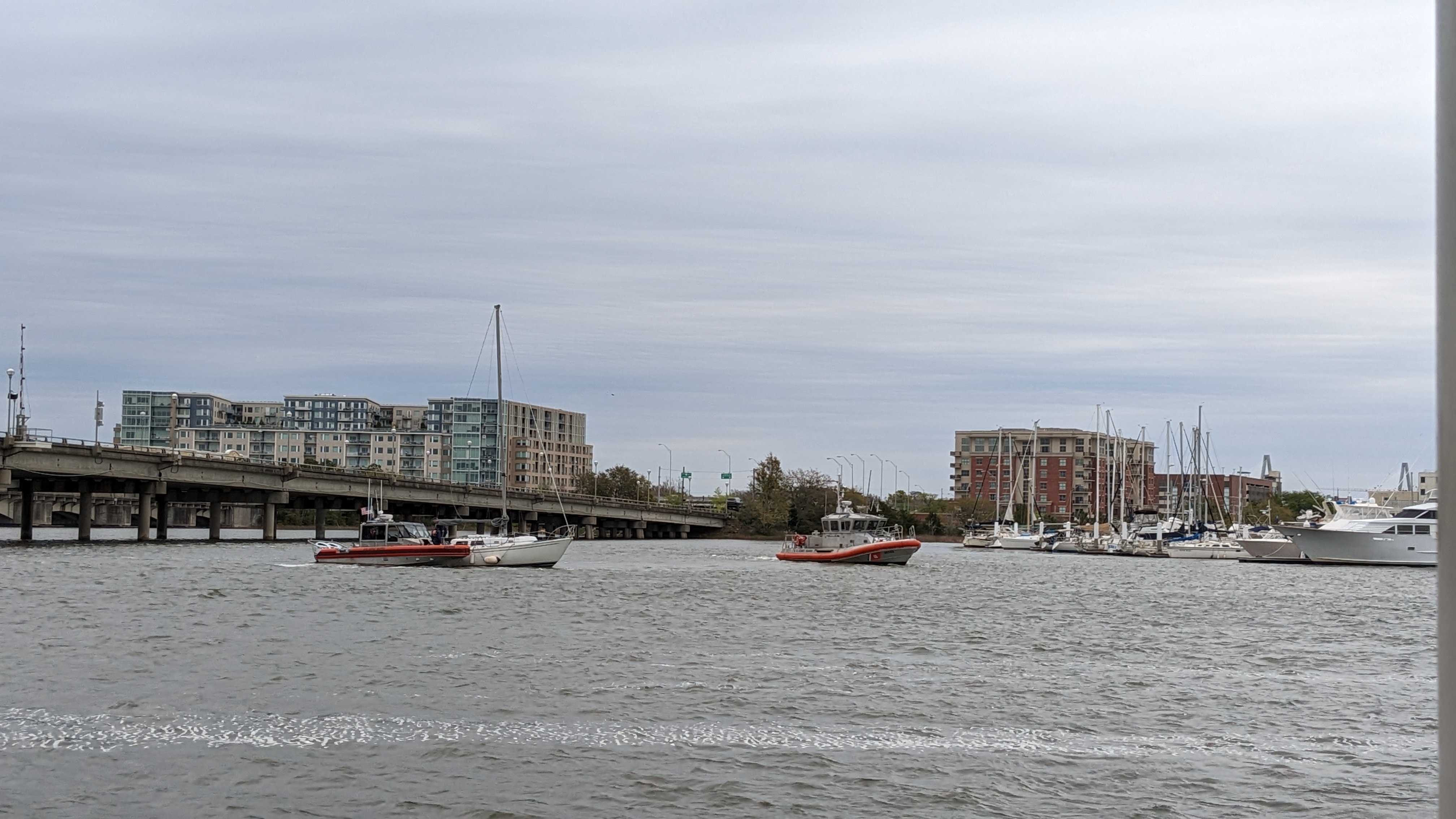
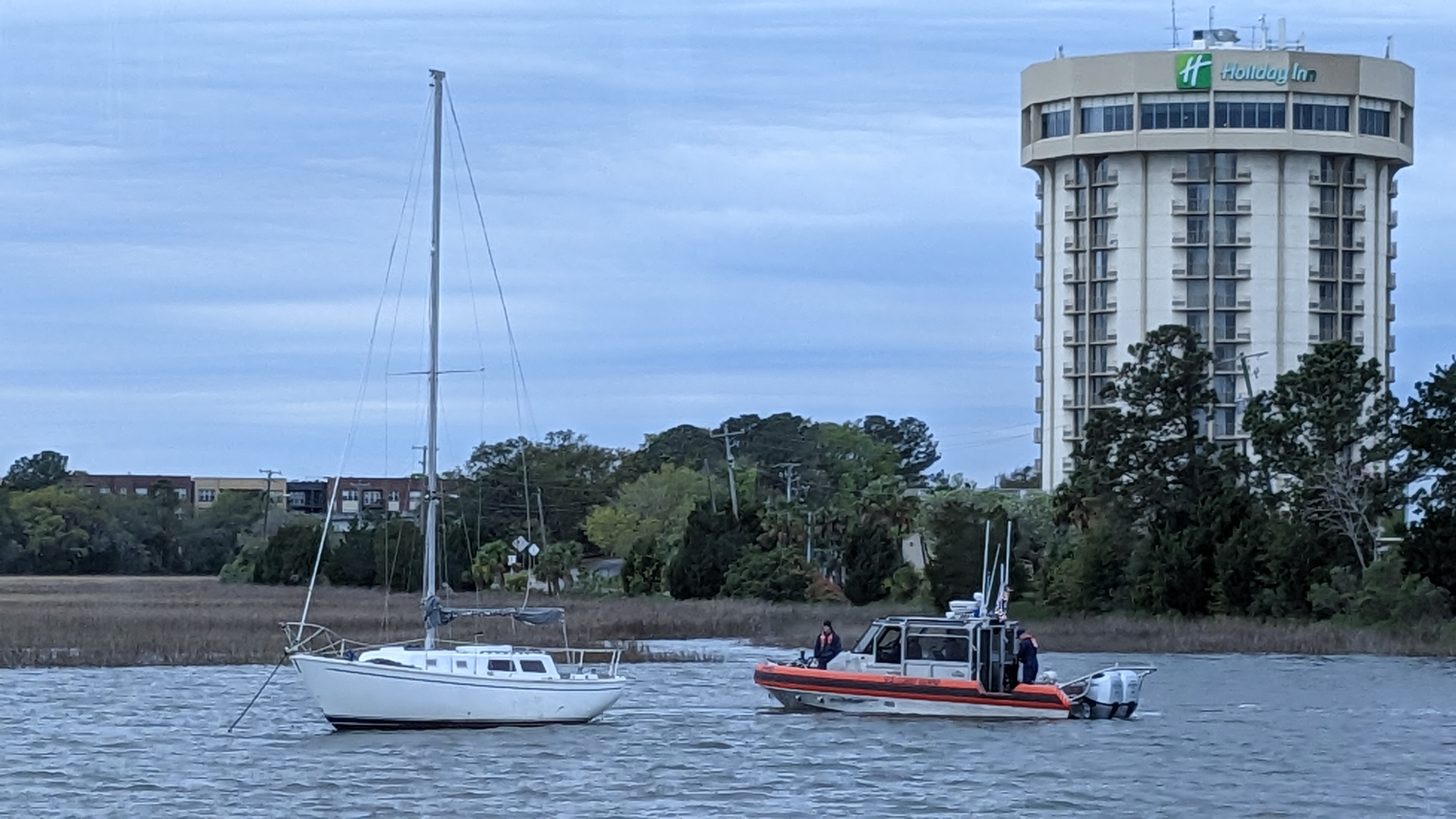
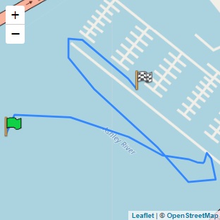
As we approached Ocracoke, there were two ferries that went inbound, and I actively tracked their AIS track in Coastal Explorer. I dropped a waypoint anytime there was a change to course. This gave me the correct course to follow as it was a good assumption that if they could make it, we could make it on the same path. I took a screen shot of the troubled area and sent it to the group. Upon approaching the channel, one of the ferries was making the return trip out. I told Tonia it was too narrow to enter with a ferry and we’re going to have to wait. Normally, that isn’t a problem, but the waves were not being friendly, and we had to bob around for about 10 minutes. She was not a fan though a trooper and put up with it, and in hindsight was glad she did as we did not run aground.

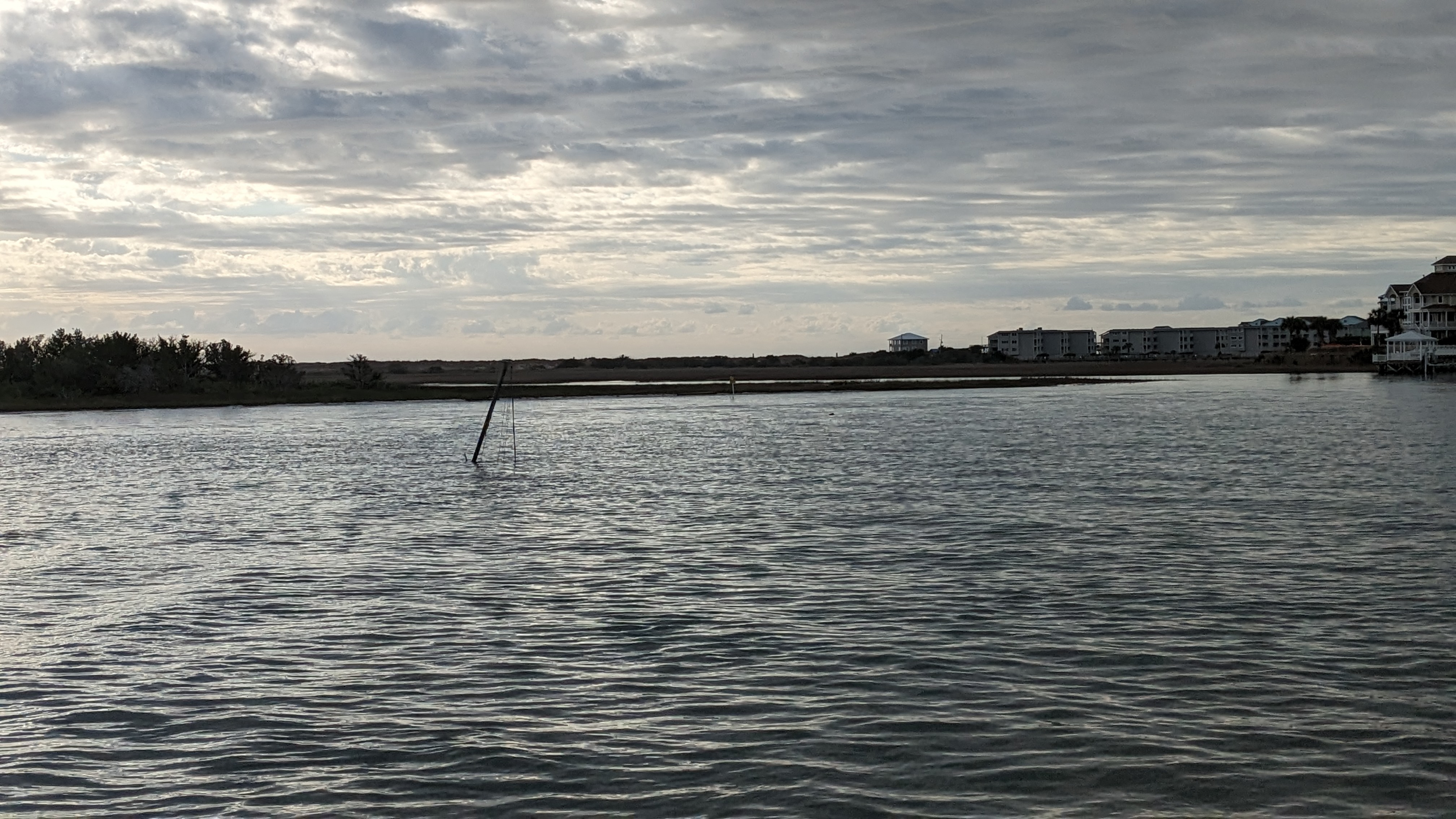
When entering the channel, I strayed a bit to the starboard of the planned line and went into 4 feet of water. I quickly corrected course and, phew, was through. Not the case with Saga and Coda. Coda can go aground without damage if going slow and if it’s not rocky. Luckily it was a sandy bottom and Coda was able to back up, change course, and push on to find deeper water.
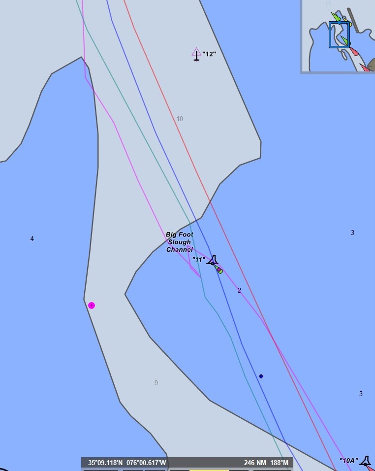
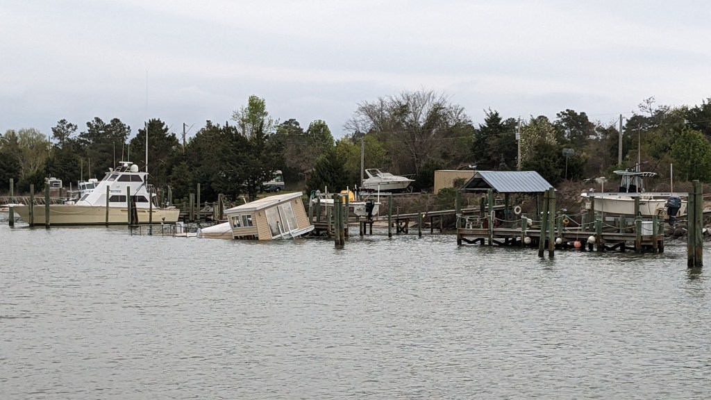
Saga was not as lucky. It came in at the same time as another ferry was leaving so was pushed too far to the starboard edge of the line. And to make things worse, it took a big wave at the exact time it was in the shallower area. Thus, Saga was picked up and slammed down. What was that loud noise? About 5 grand!
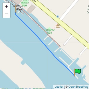
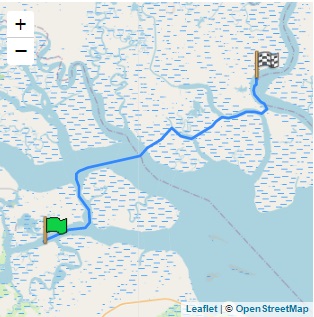
To the right are the boat tracks through the area. Red-orange (far right) was the correct route. Blue was Lil Sudden’s path and pink was Coda. Green was Saga that ran aground. You can check out their first-hand account of the event on JustABitLoopy.com.
The first thing you are going to say is the chart above says 2 feet so of course you are going to hit. However, the chart is wrong. The red-orange track maintained 14 ft depth the entire way through this area. What? Yep, it was dredged, and the NOAA chart was not updated. Plus, one of the biggest problems is the green buoy that is shown right in the middle of the chart is not actually in that spot. I added a pink dot where the green buoy is actually located now. So, saying to hug green, which makes sense from the chart, will run you into trouble unless you find the sliver of green area (see left graphic) and turn precisely on it.
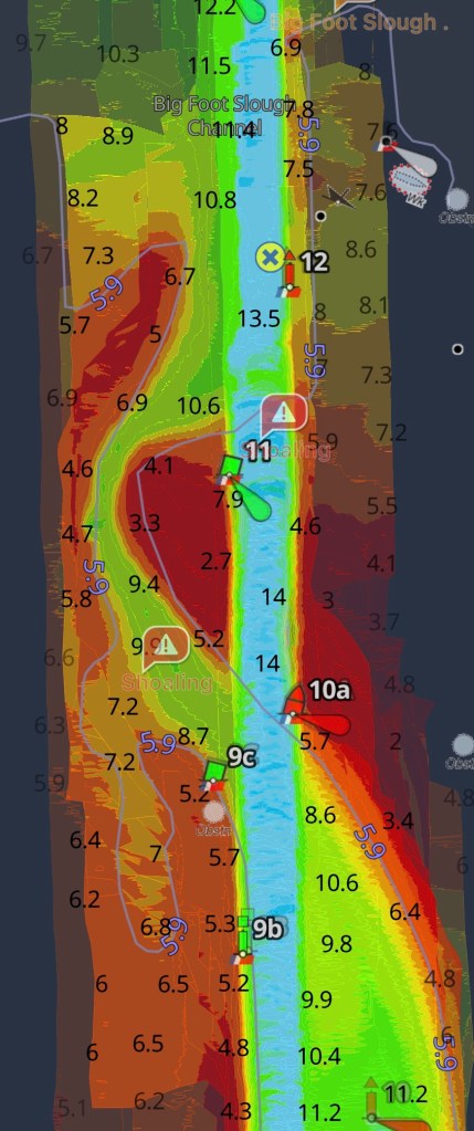
You mentioned Aqua maps? Yes, I did. What makes it better is that it has a setting allowing you to overlay Army Corp surveys over the charts. It also has a config that lets you choose if you want old surveys or just new ones. If you choose older ones, it fades them out, so you know it’s older data. As you can see with the image to the left, the channel is nice, deep, and straight. Just keep you boat in the middle – barring any oncoming ferry traffic, and you’ll have 14 feet.
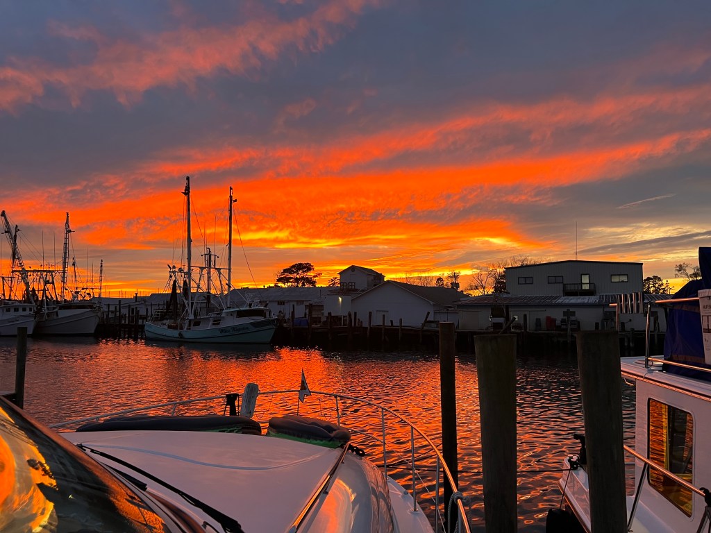
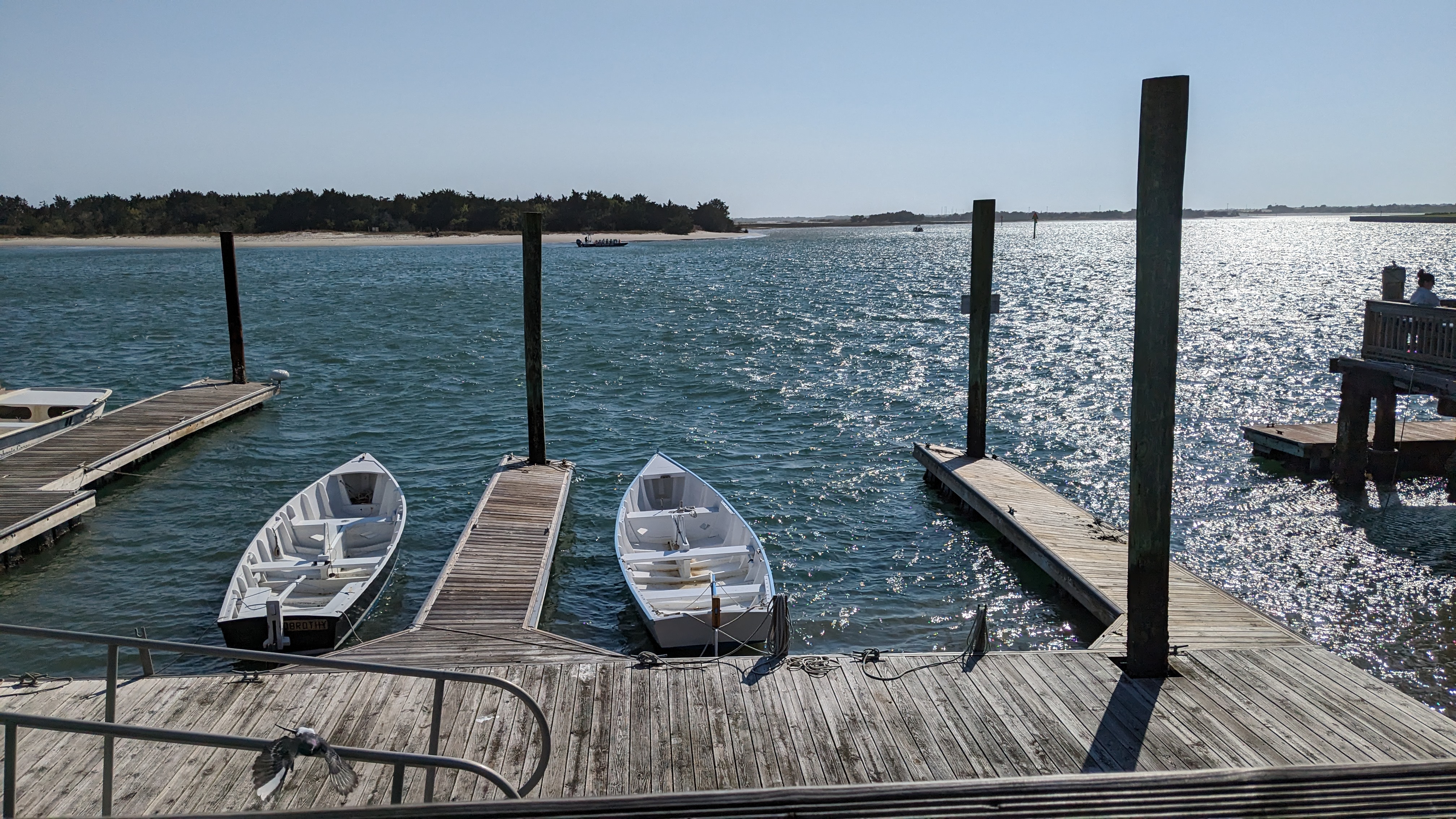
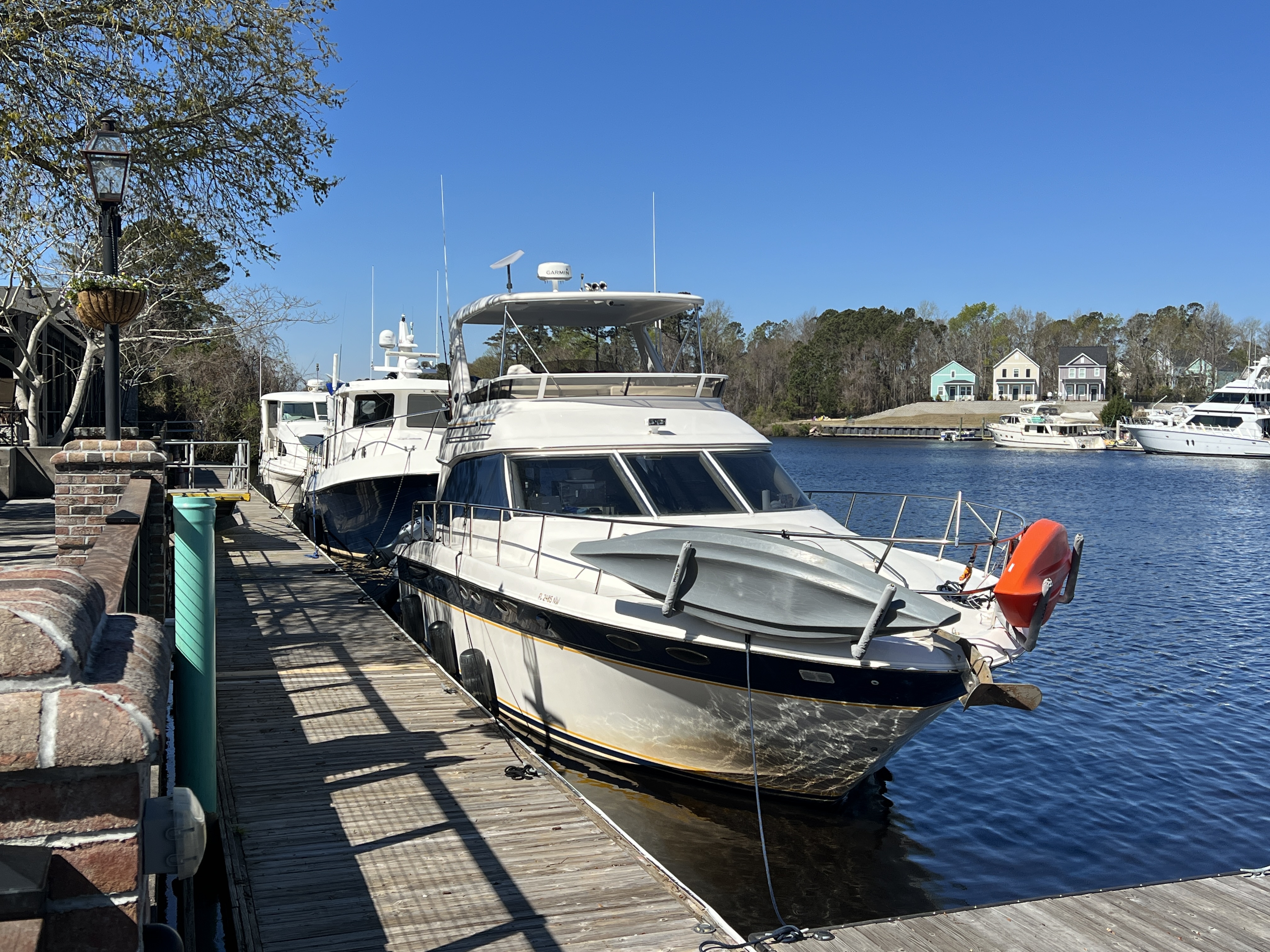
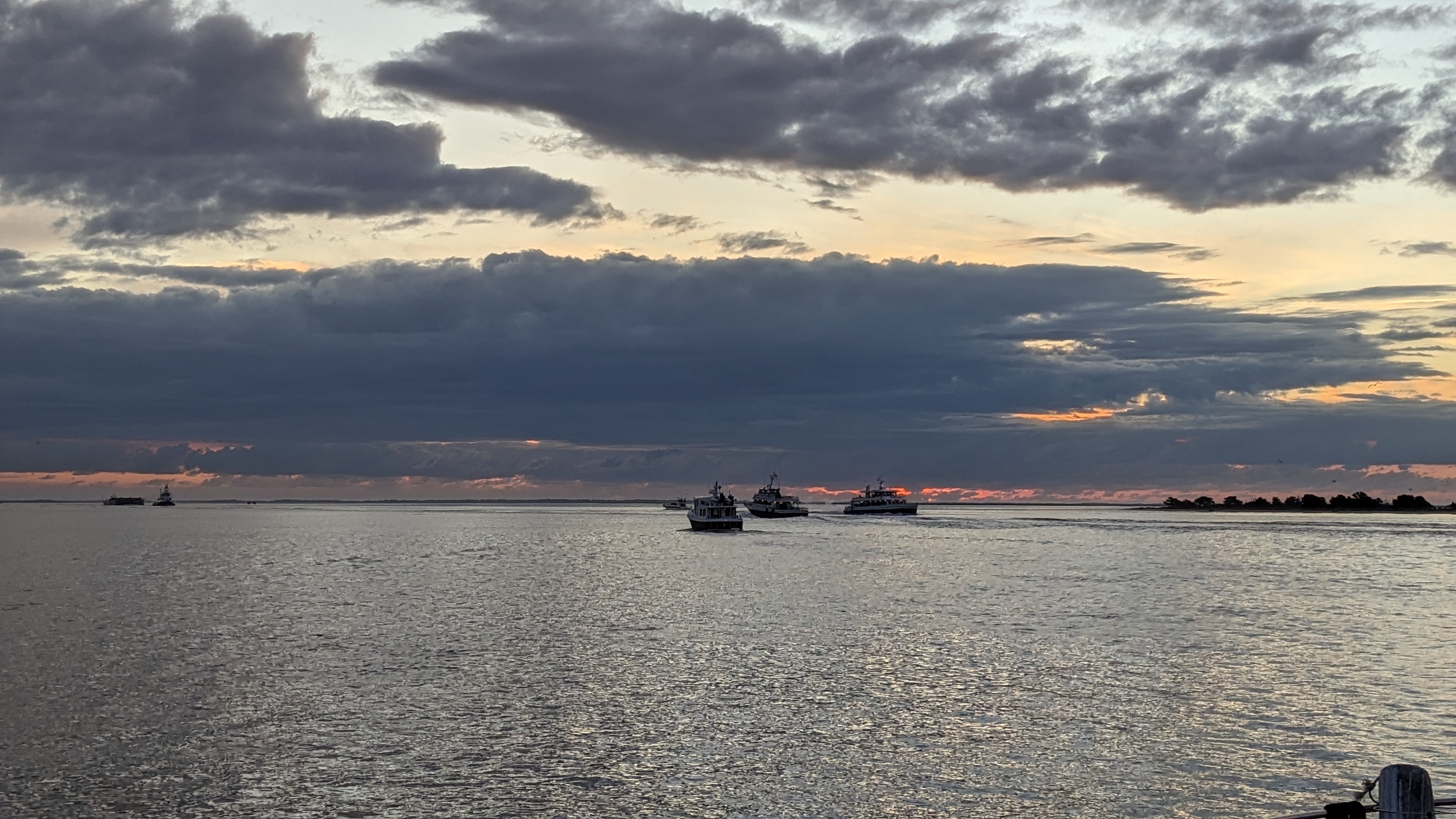
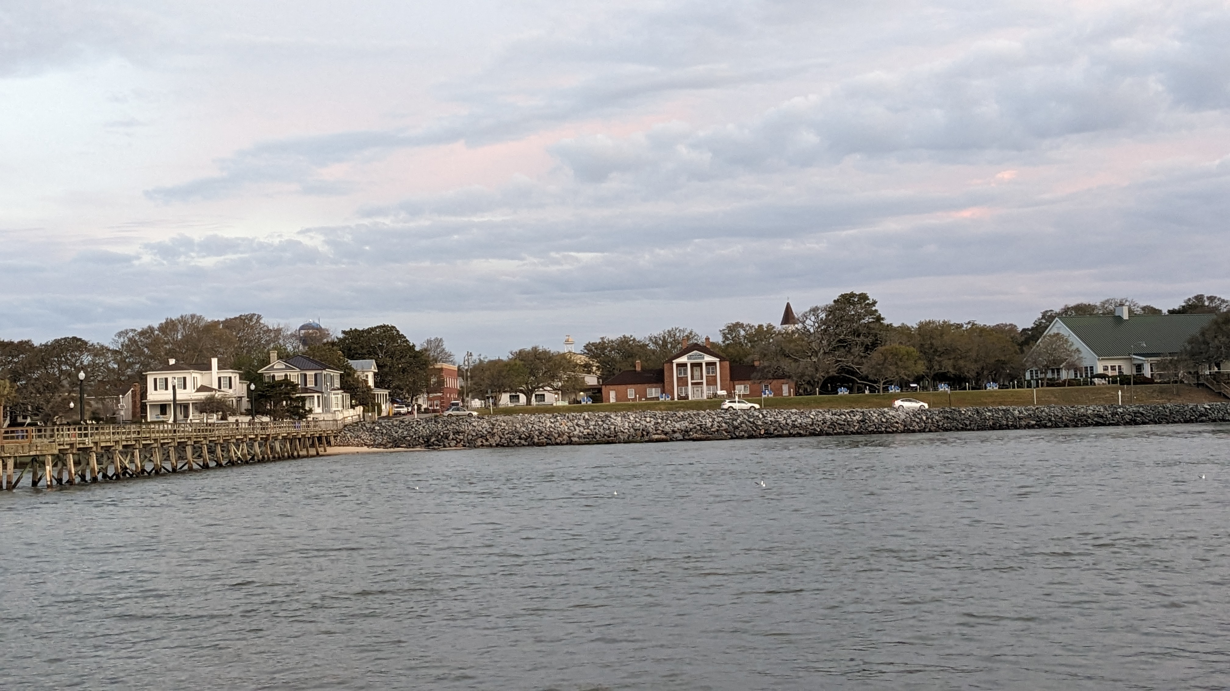
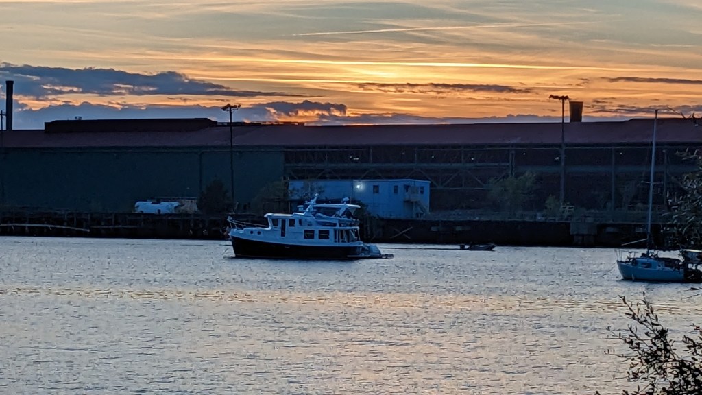
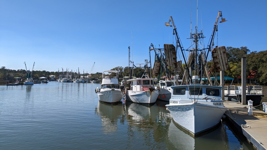
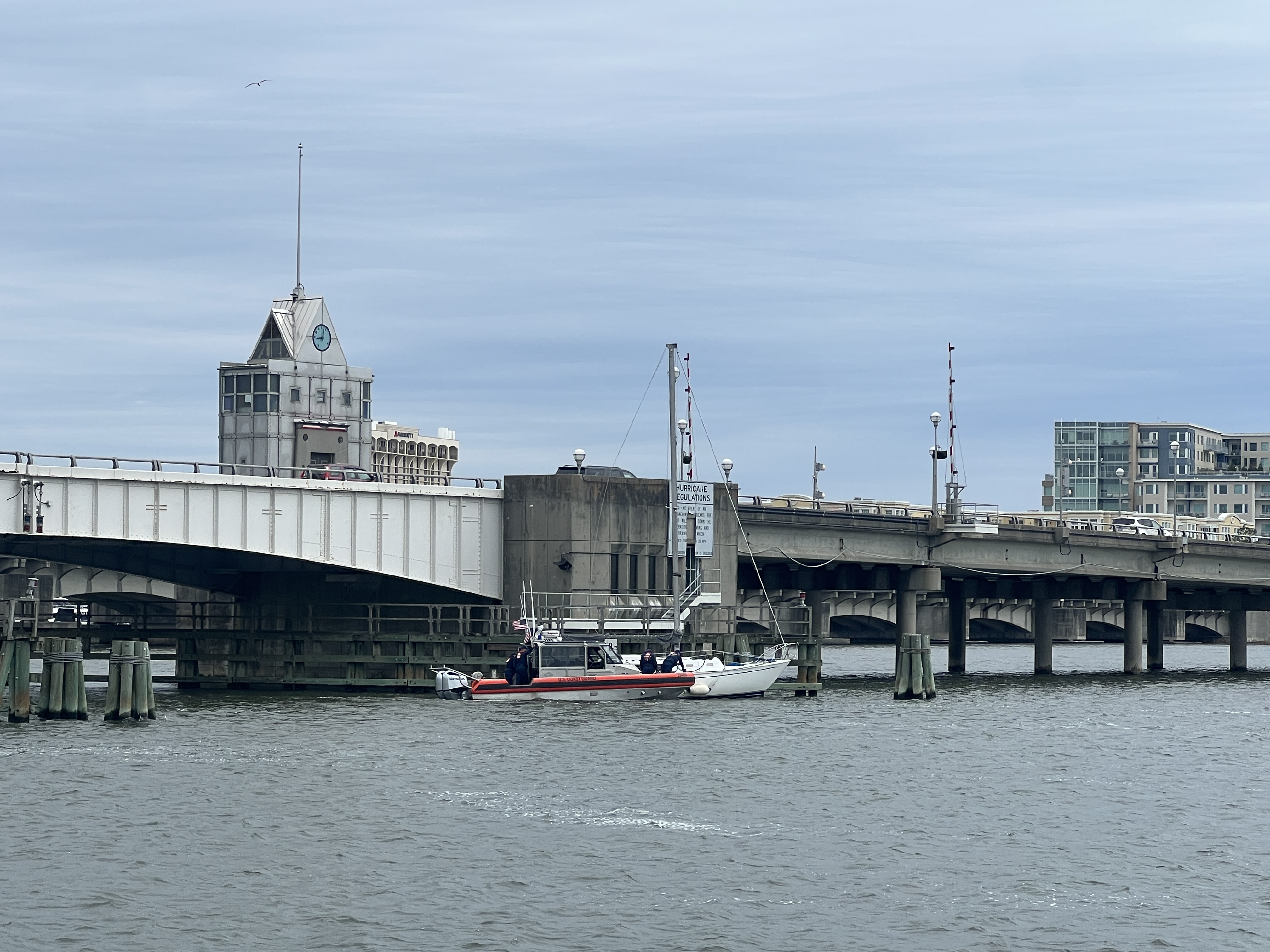
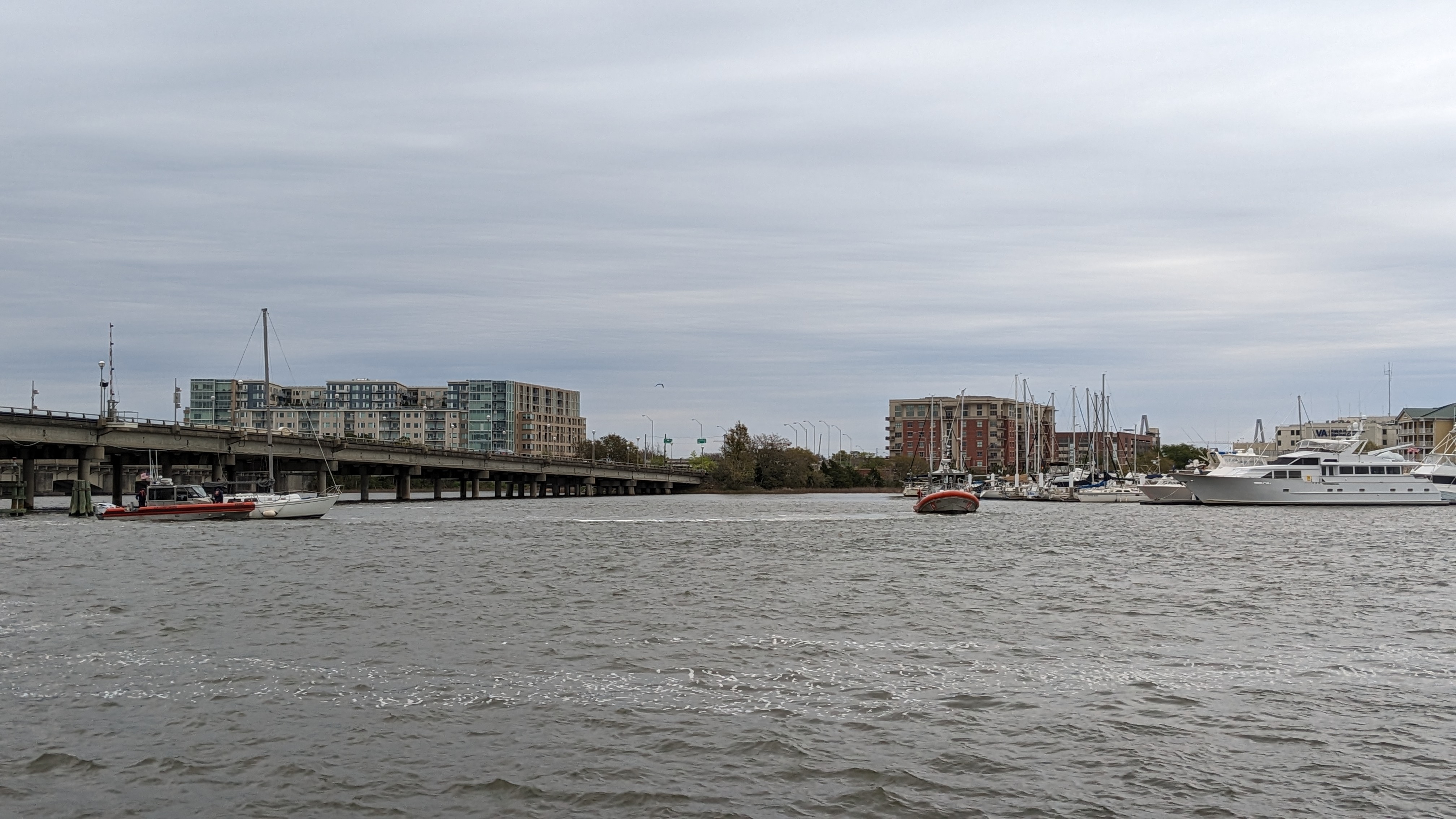
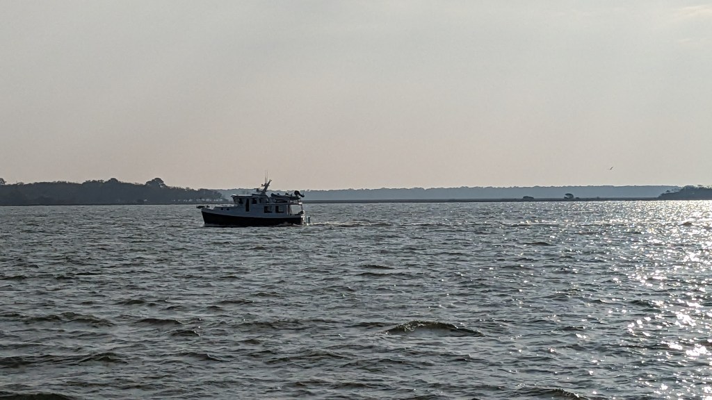
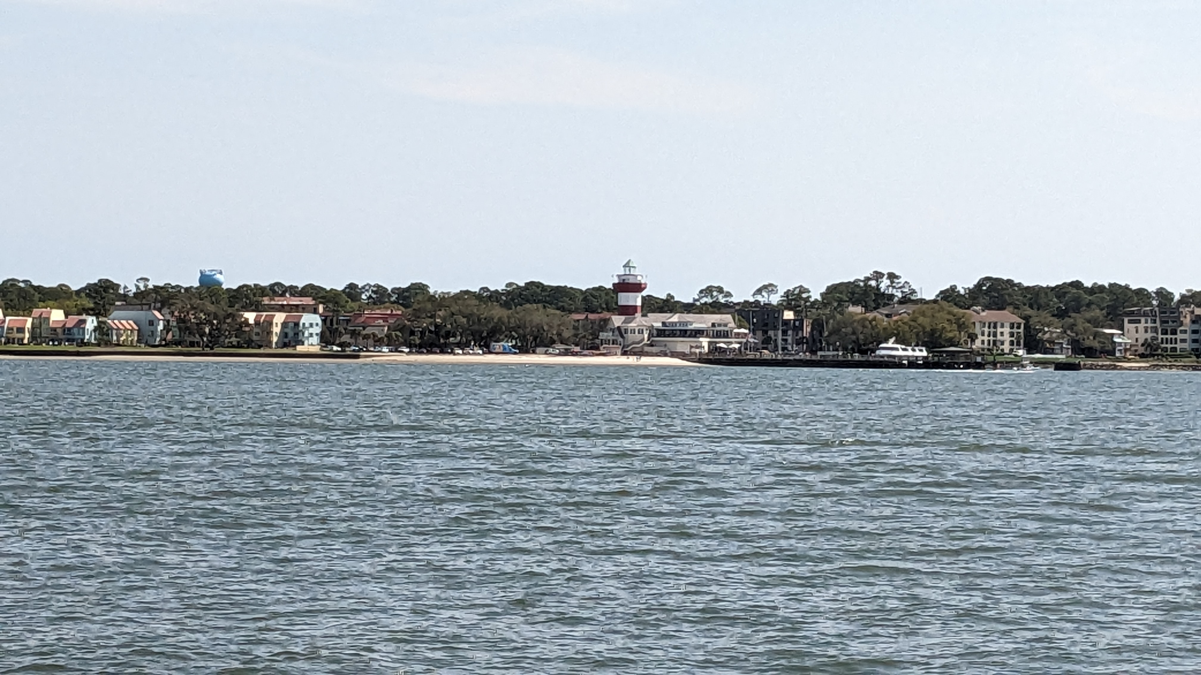
We made it! Ocracoke has a great government dock. You just pay per day and, if you have the annual park pass, it’s half price. A great deal at $28 a night including power.

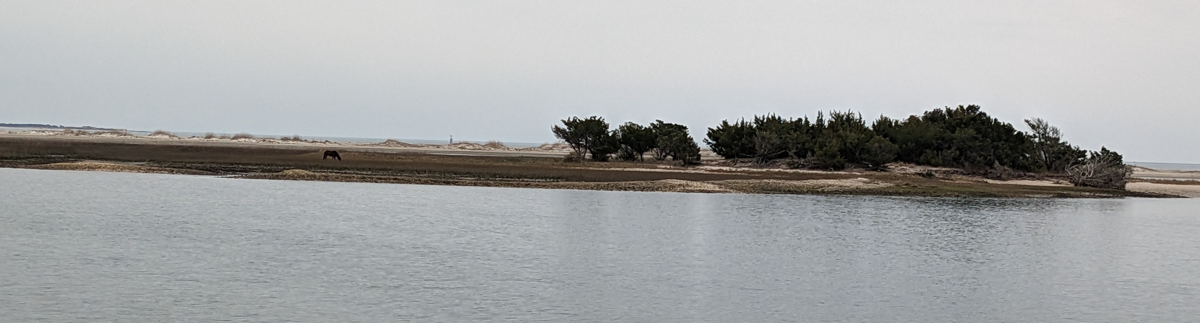
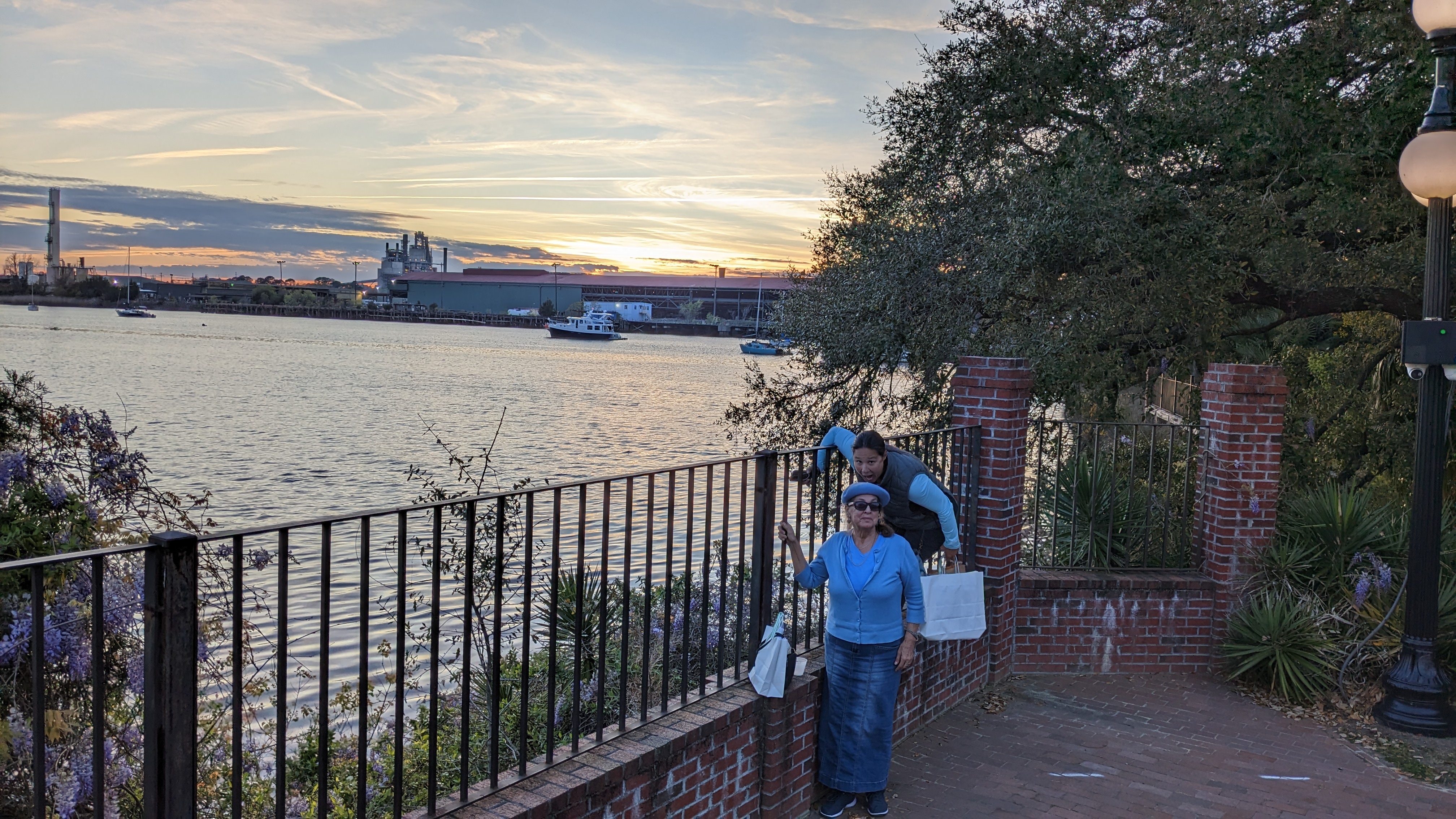
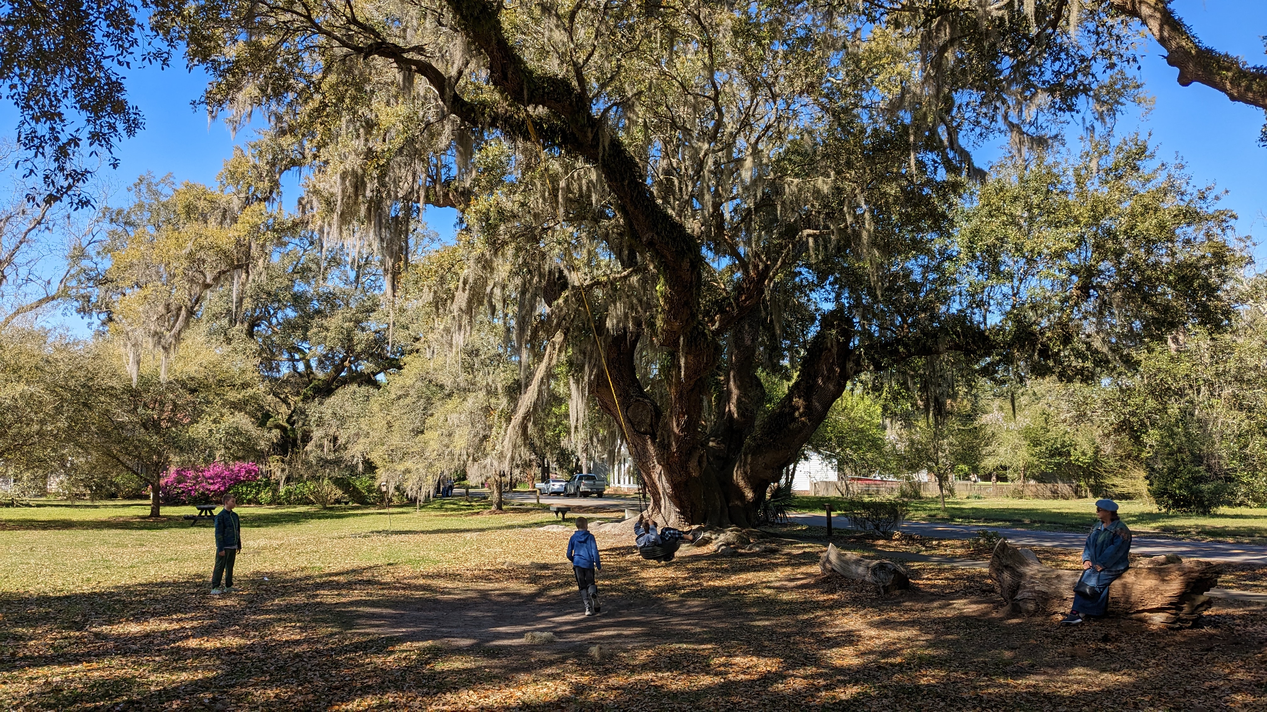
The surrounding area definitely has the touristy island feel. Golf carts and bicycle rentals everywhere. We were a bit ahead of the tourist season so it was quieter, though that can be nice other than some limited shop hours.
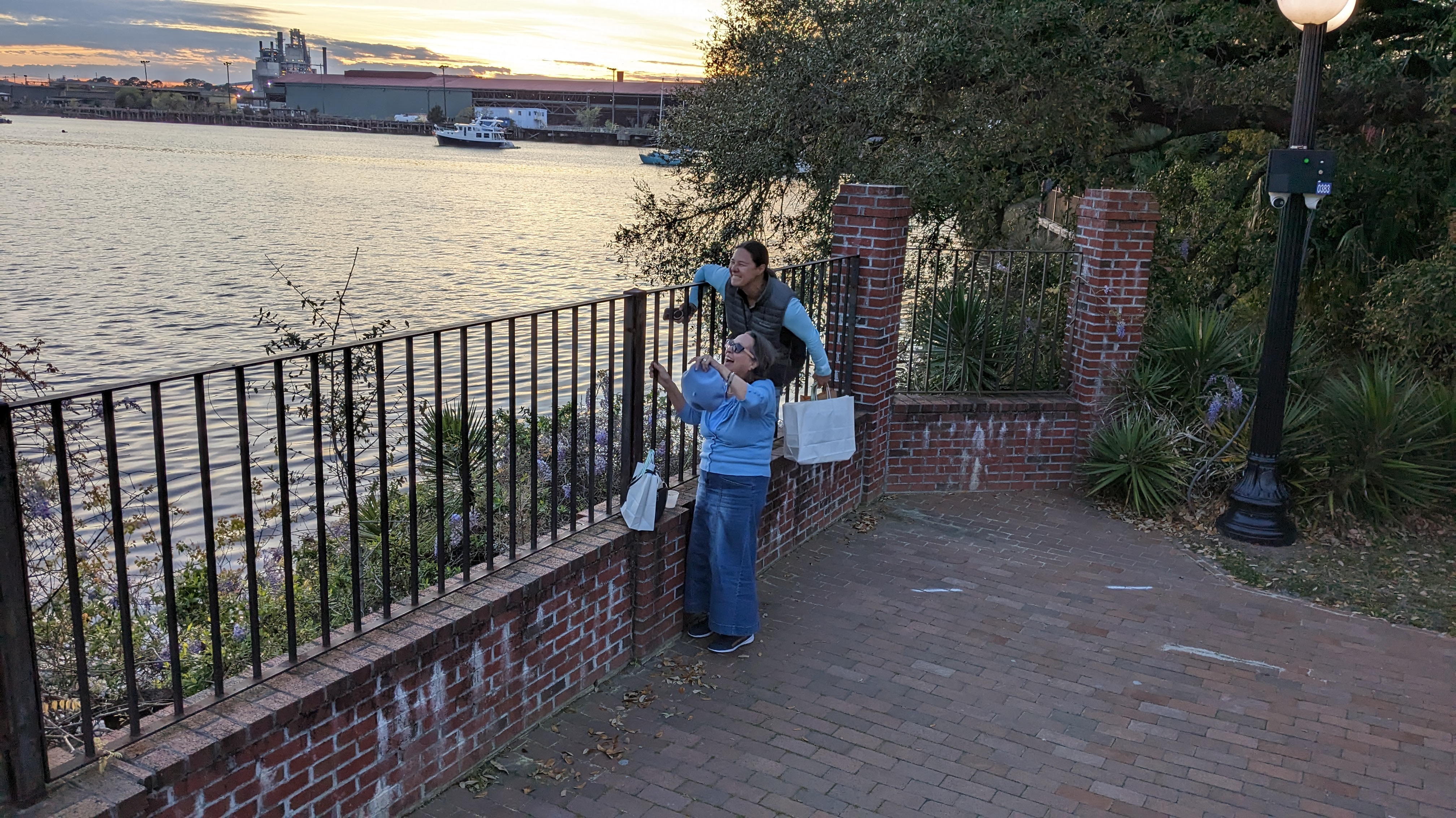
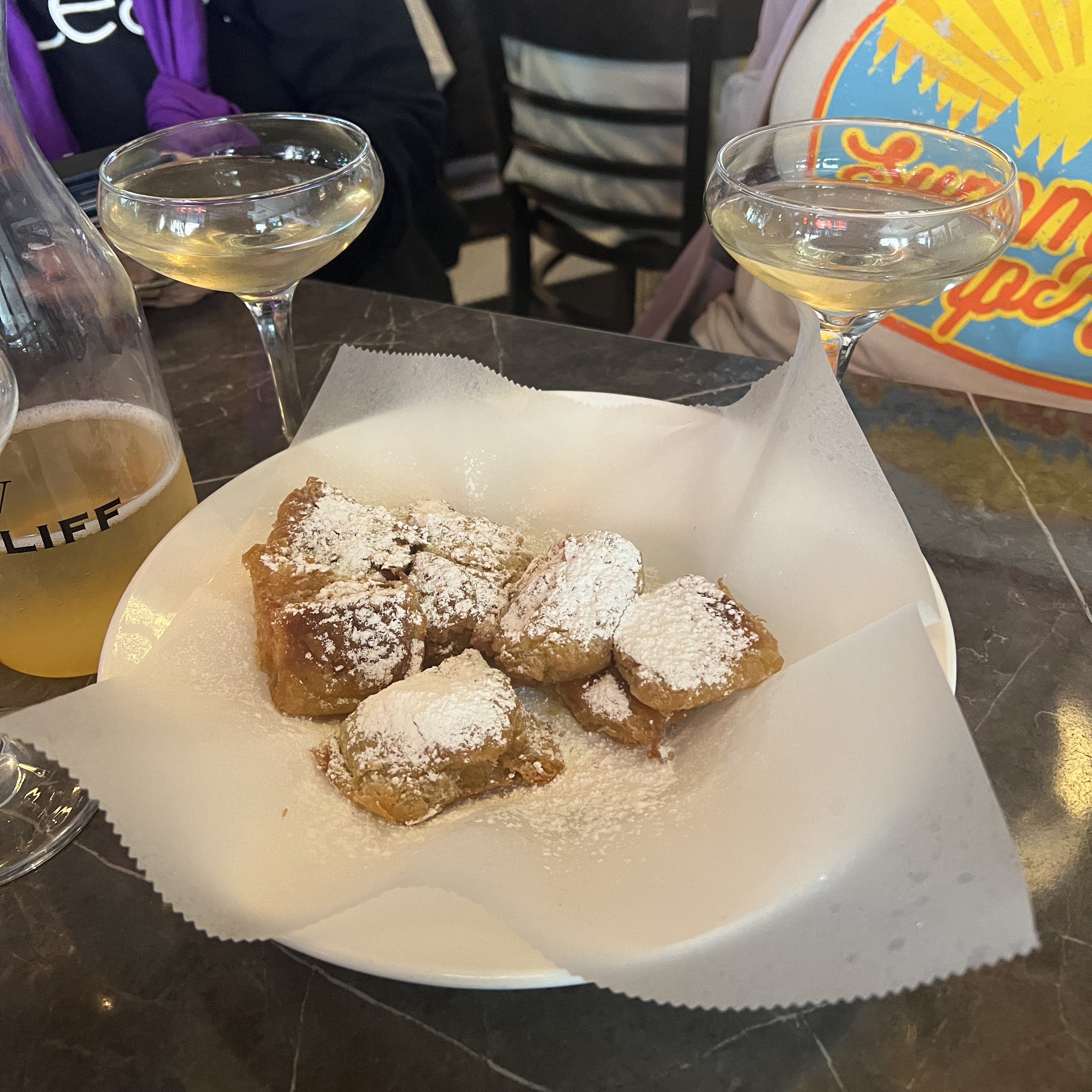
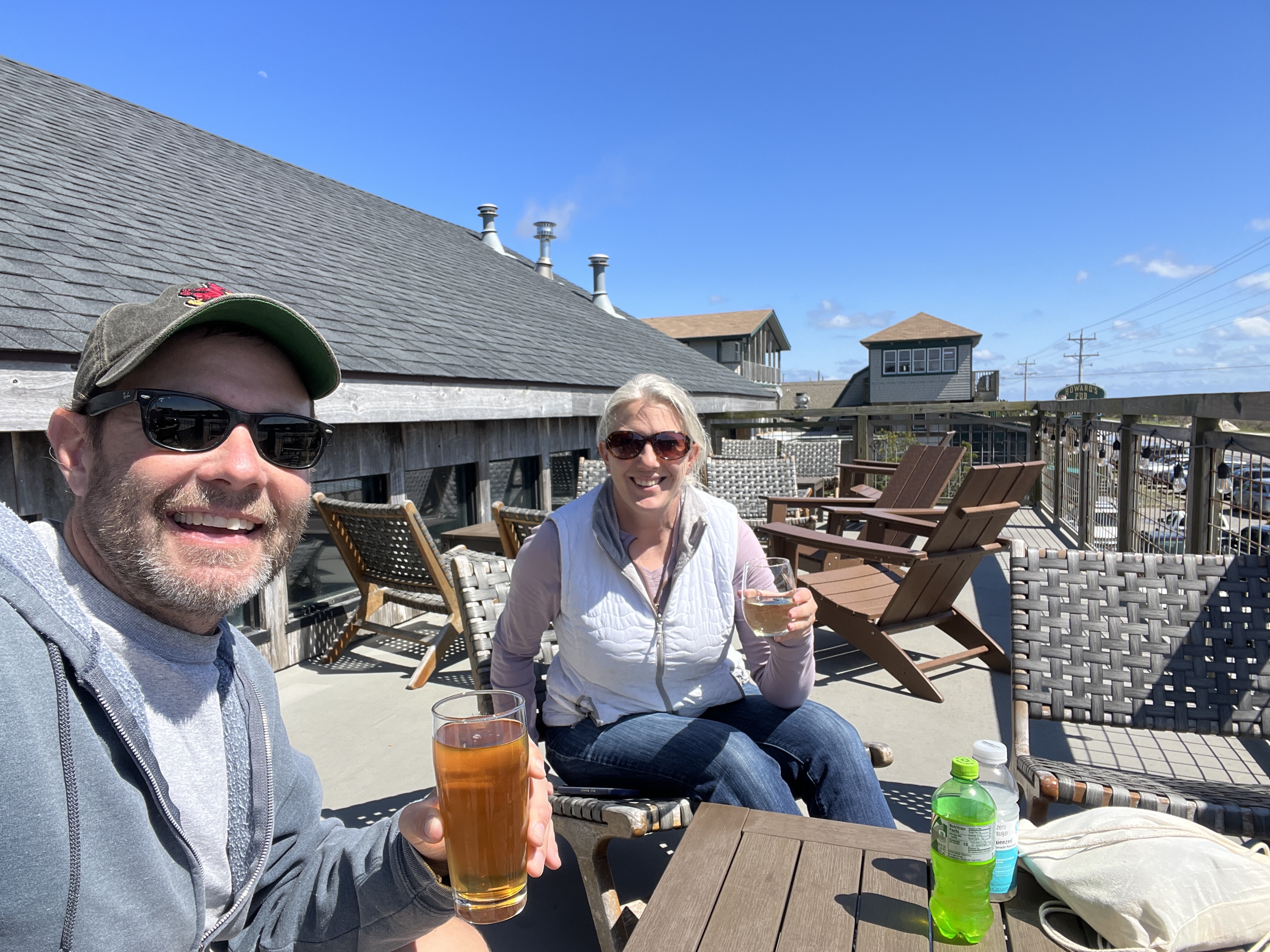
Tonia and I ventured out for a walk of town, which was about one mile down the main road from the boats. At the end we found 1718 Brewing Ocracoke that offered a fun selection of brews as well as a local Wild Pony White wine for Tonia. We treated ourselves to some beverages on the rooftop seating area.


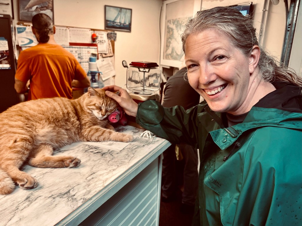
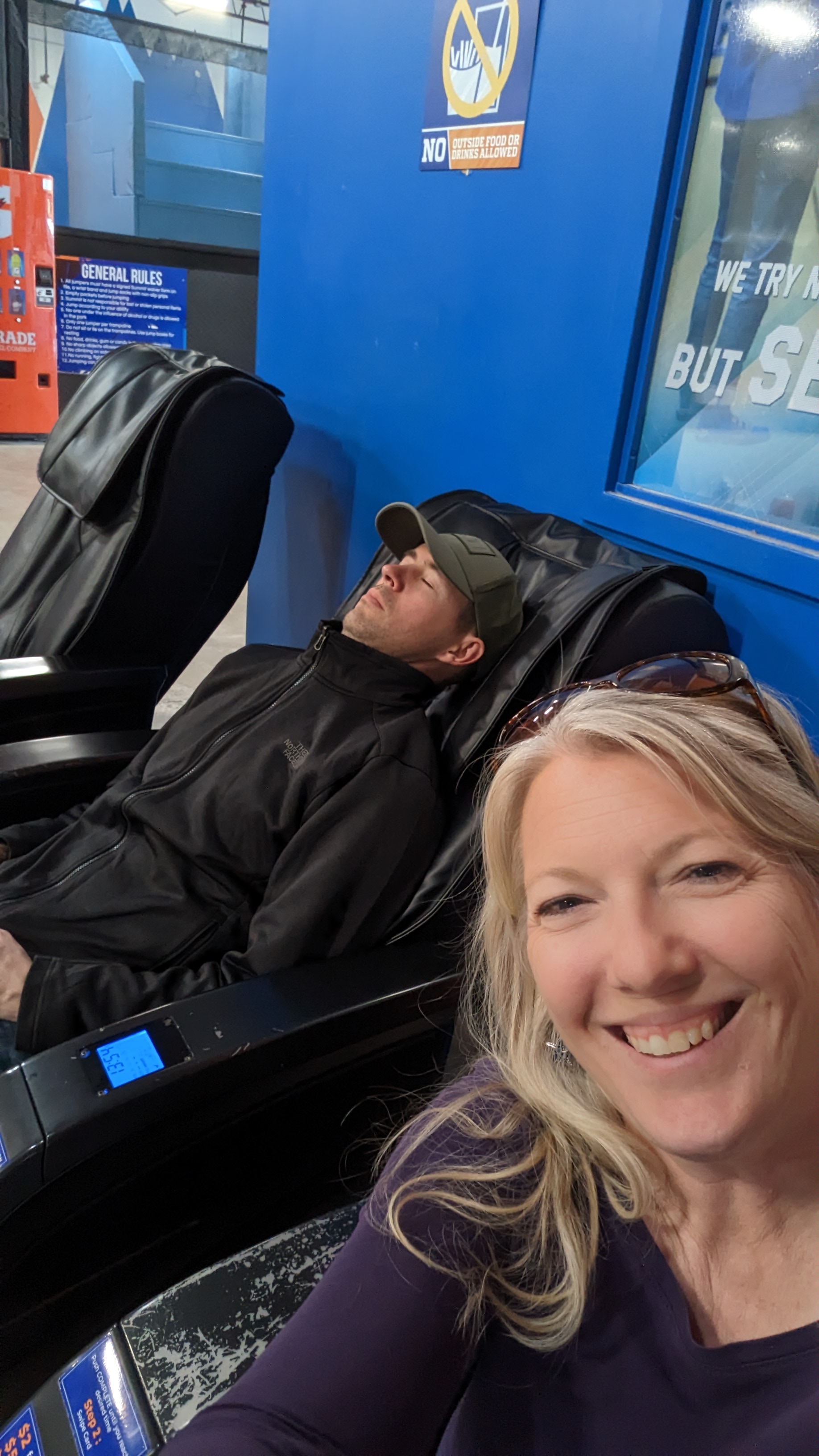
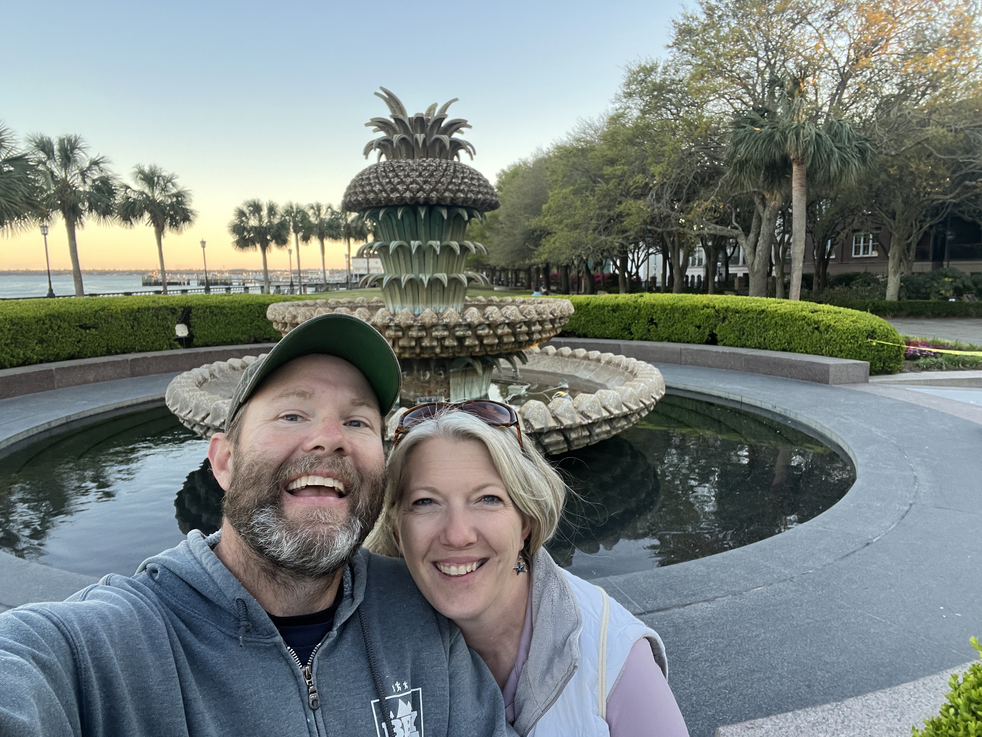
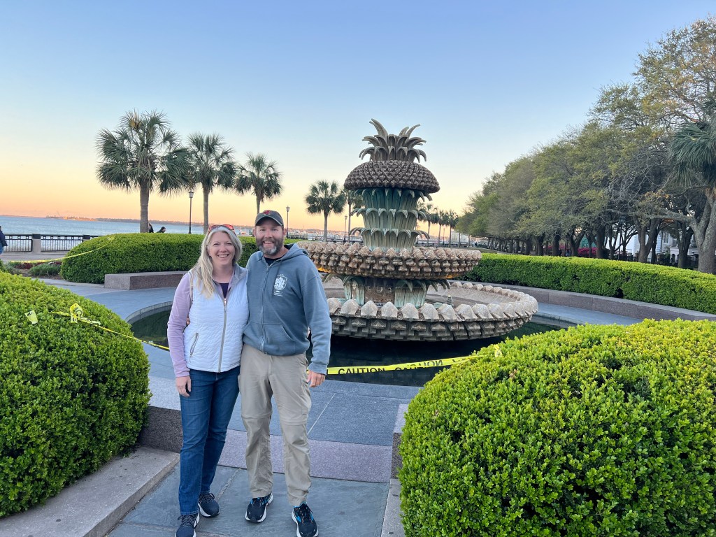
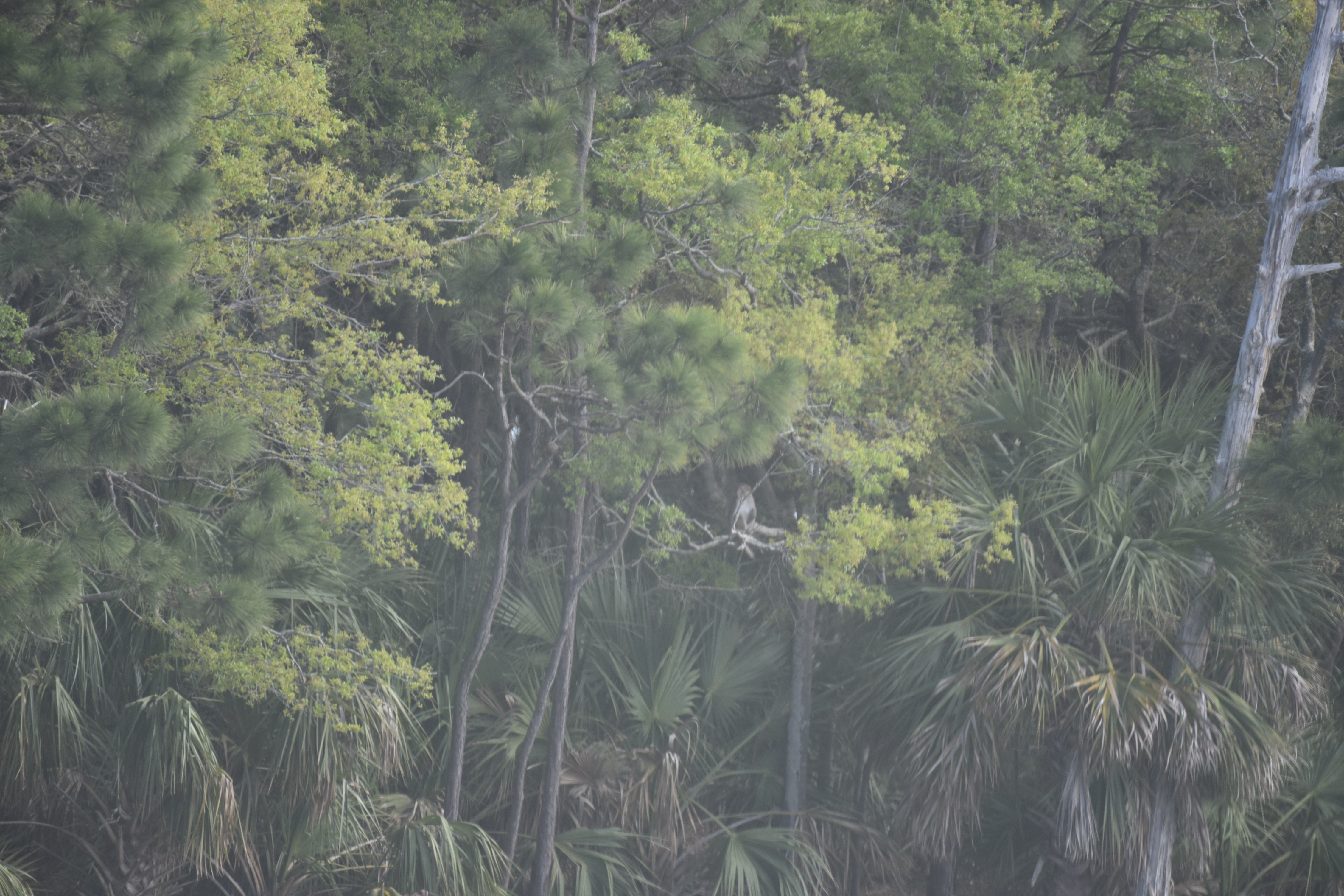
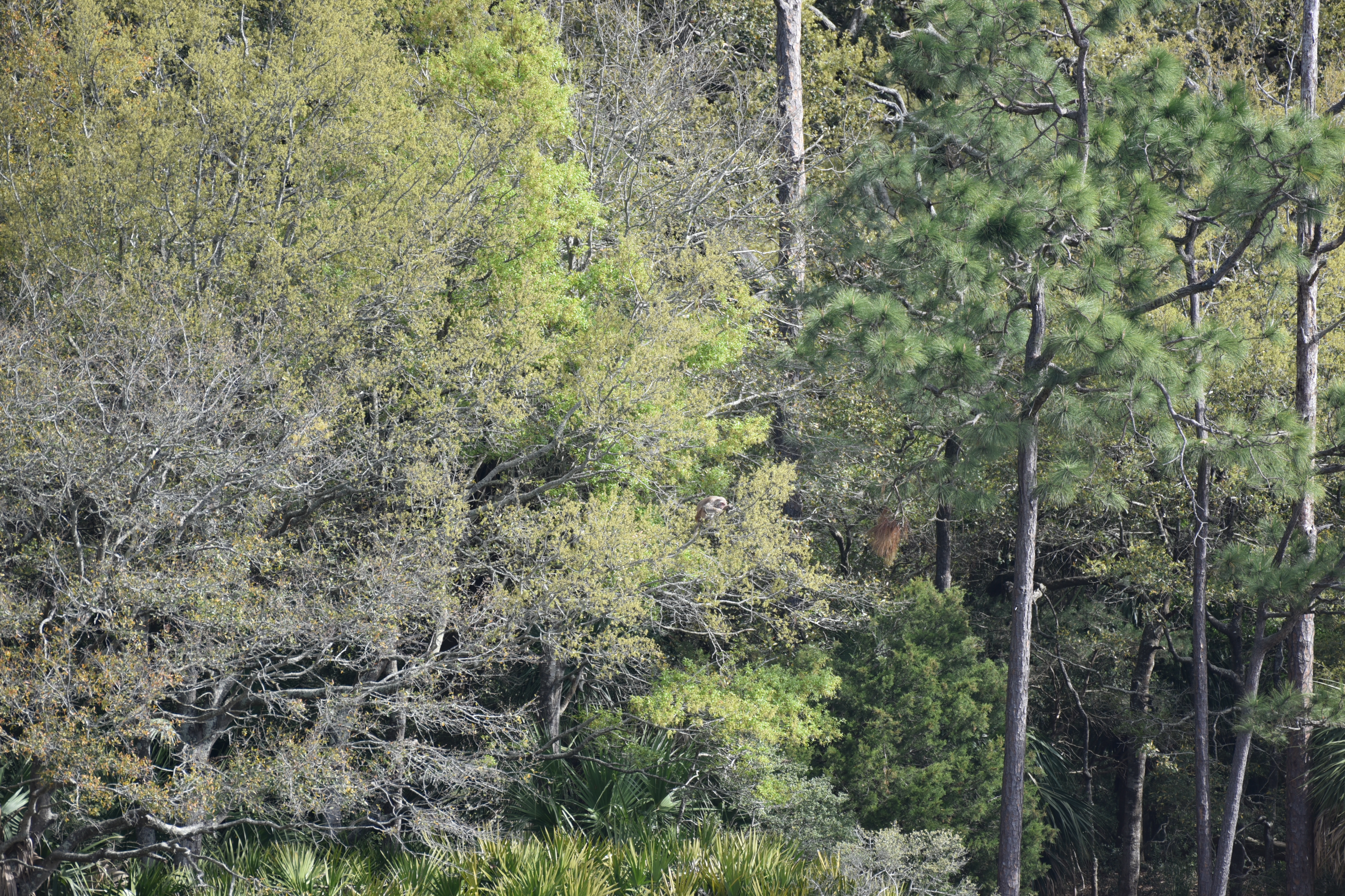
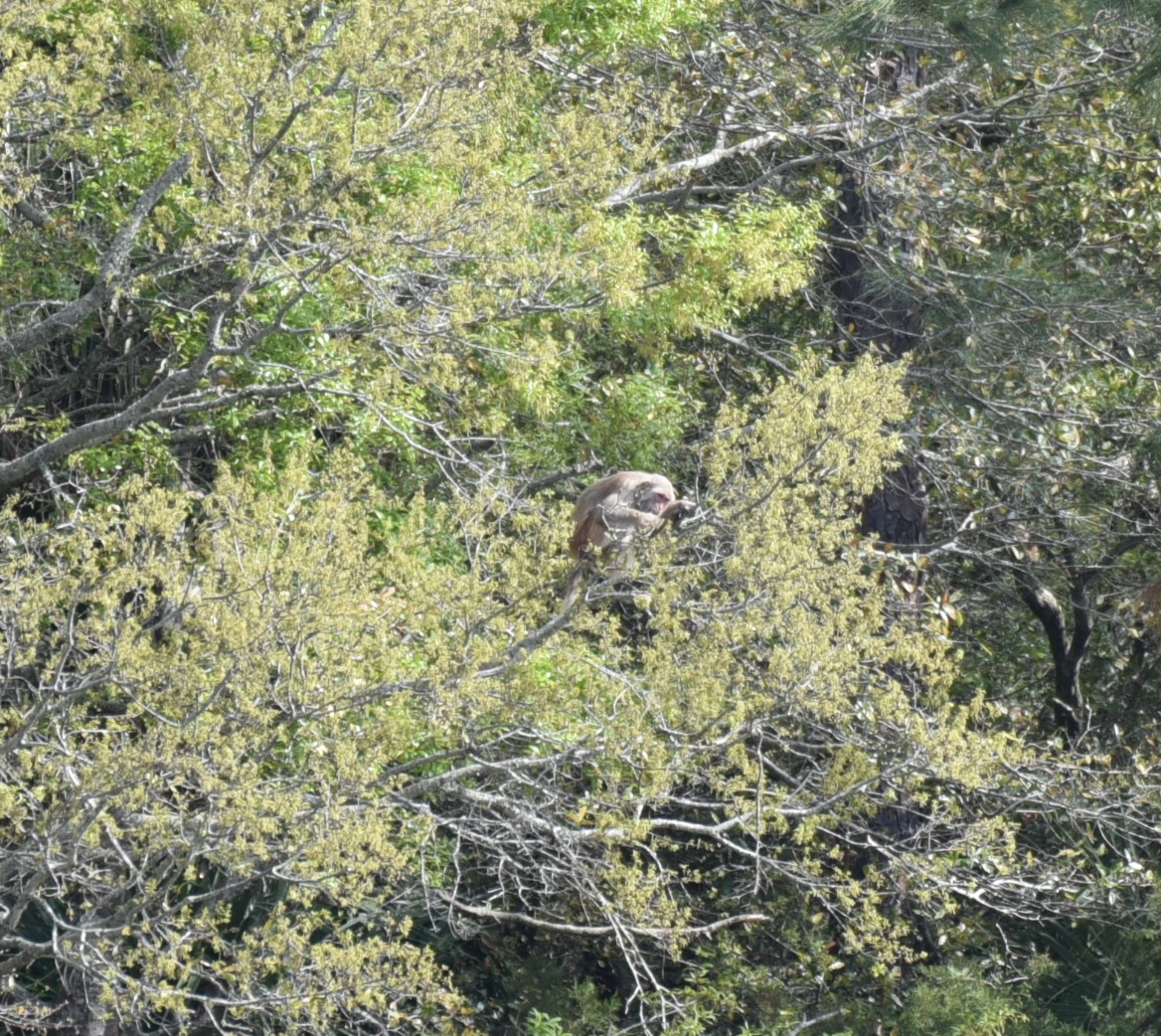
After Tonia’s much-needed massage, a special treat from Mayli, we checked out the Ocracoke lighthouse…


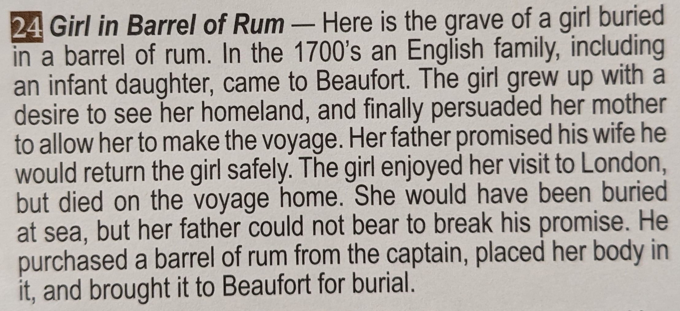
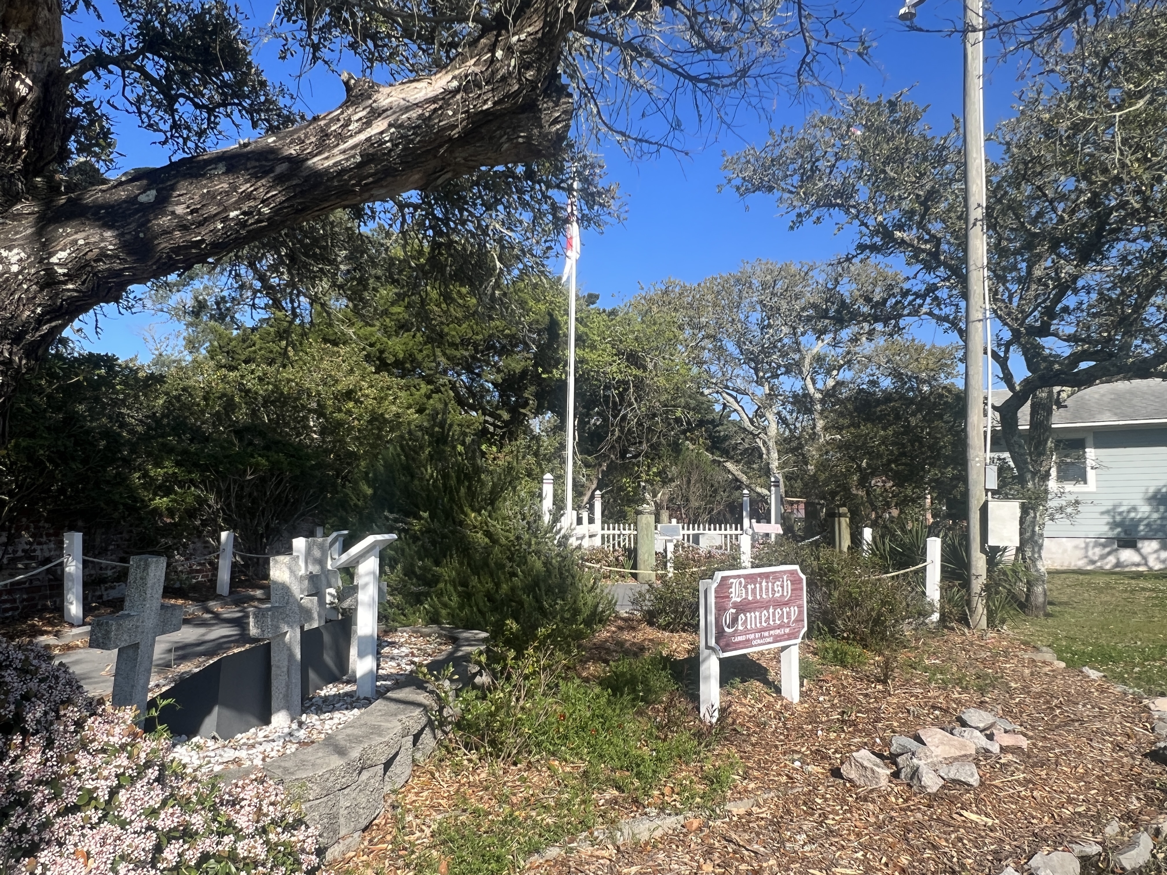
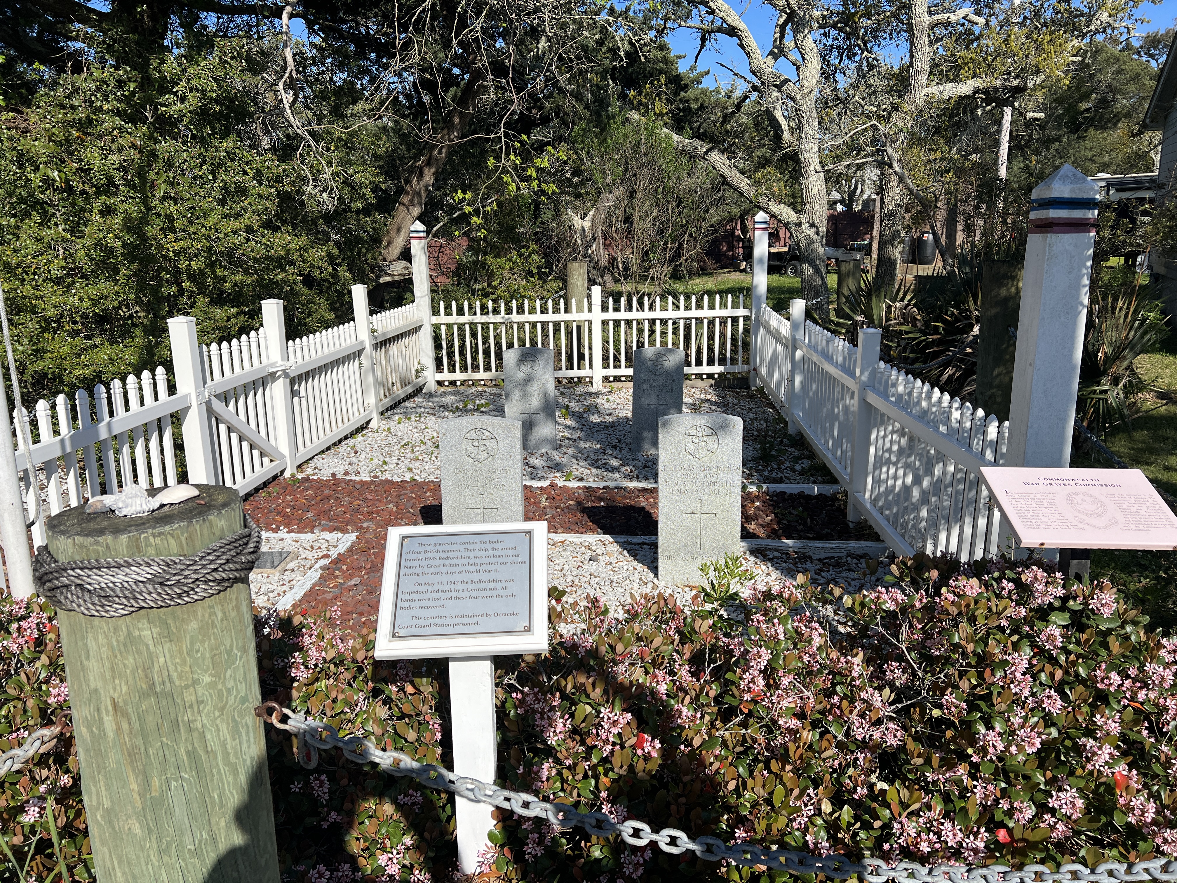
…and took in the sights of the town, including a British Cemetery…

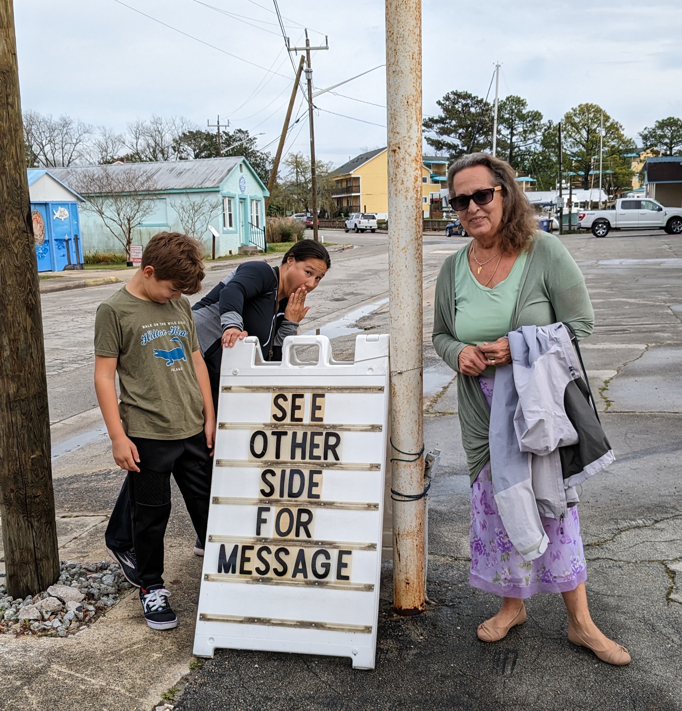
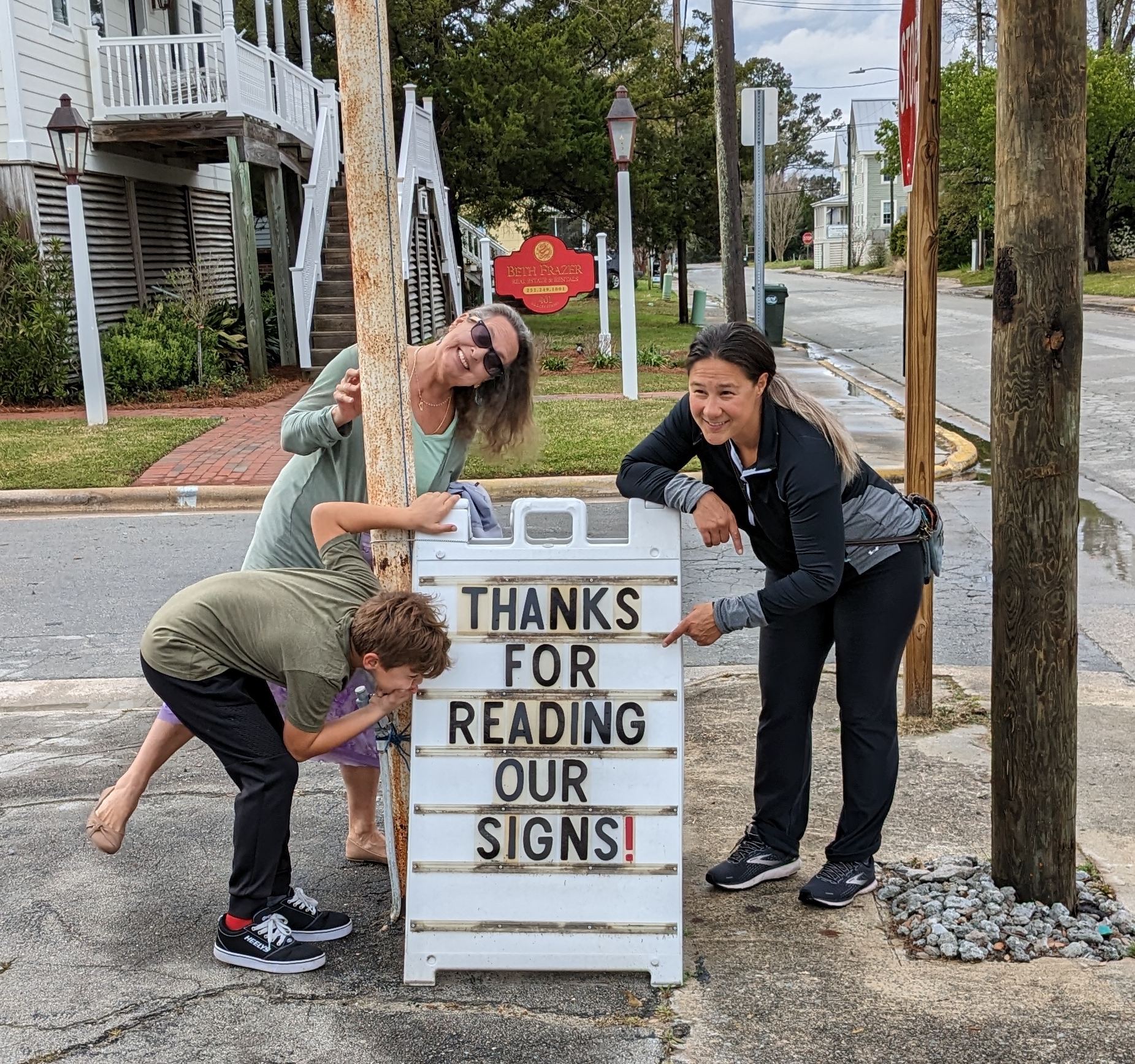
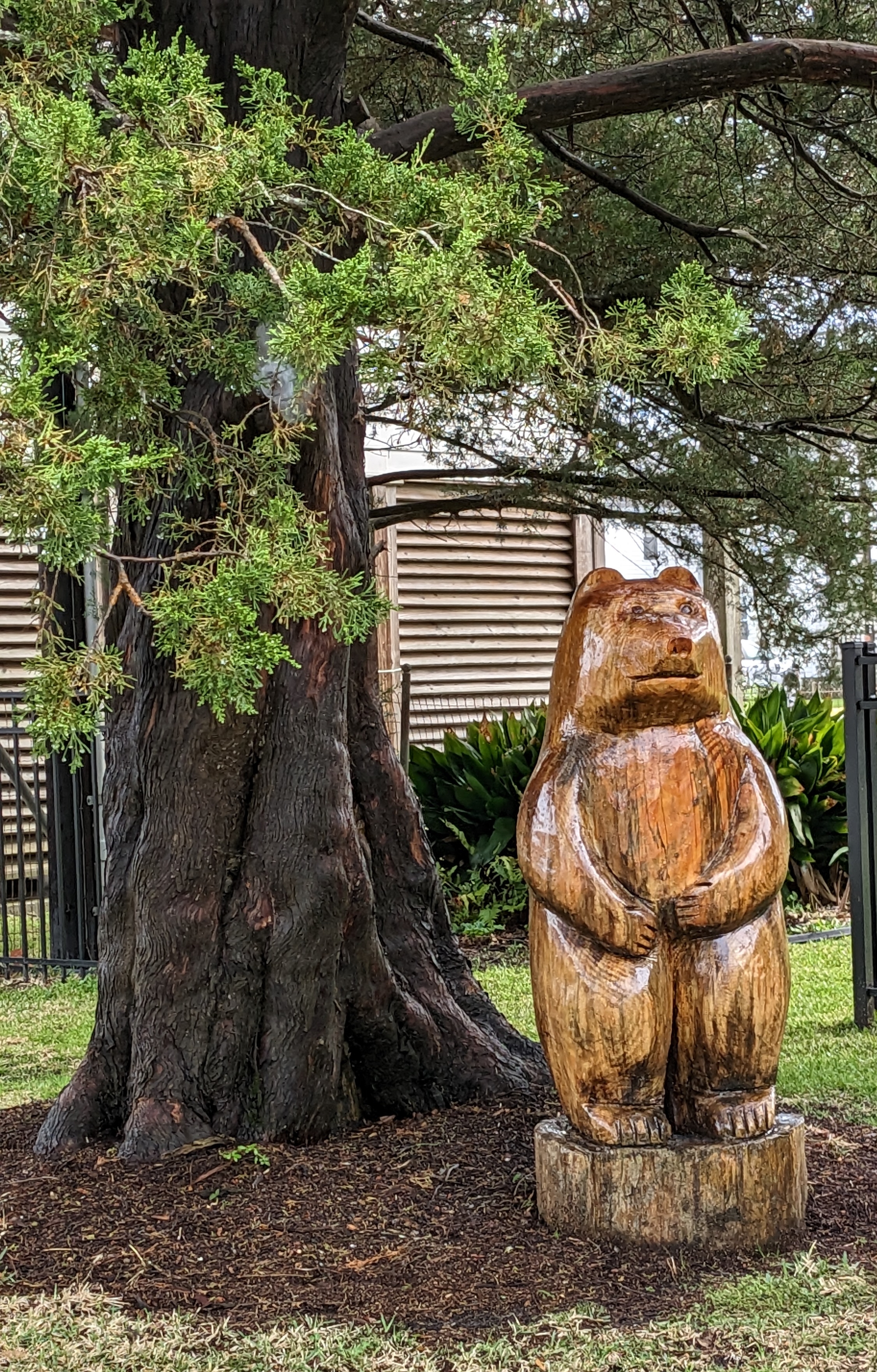
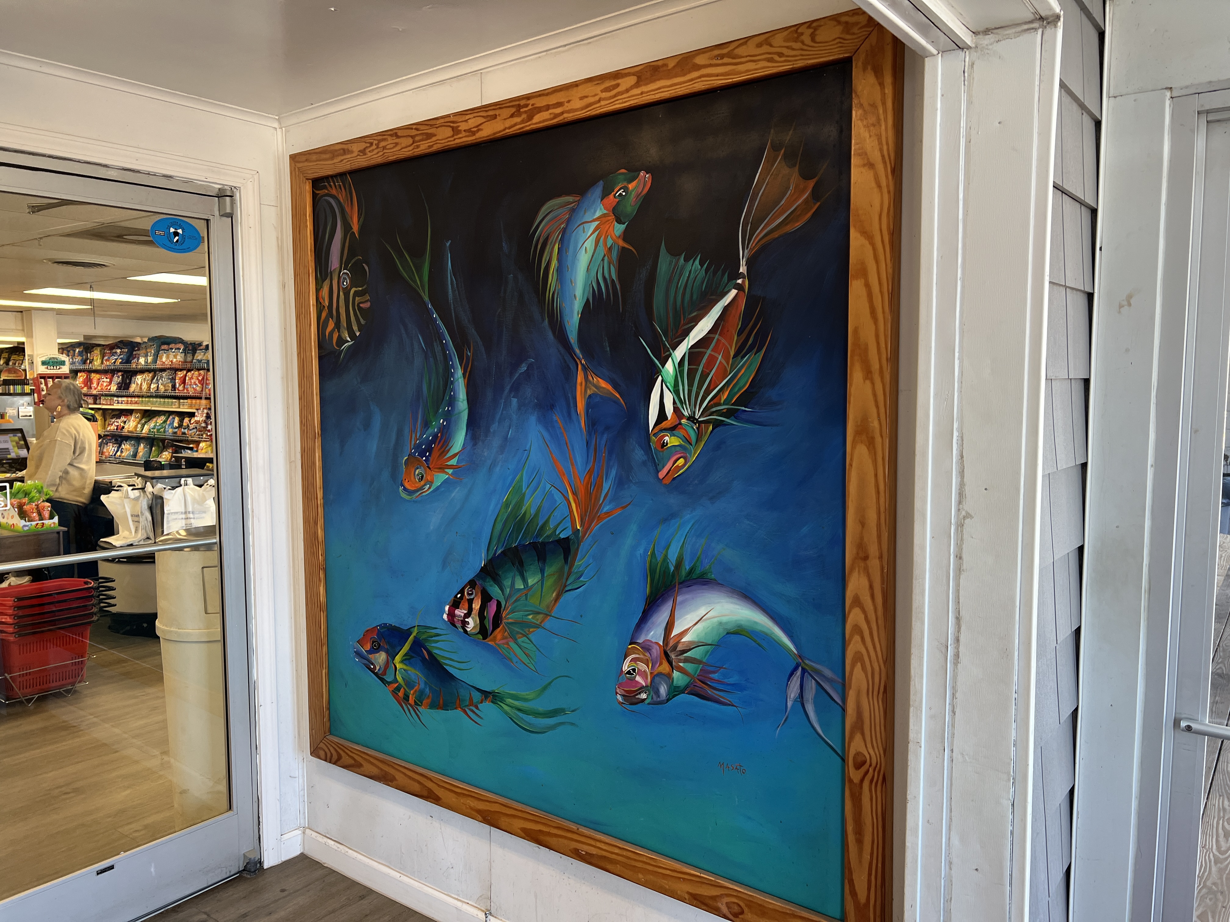
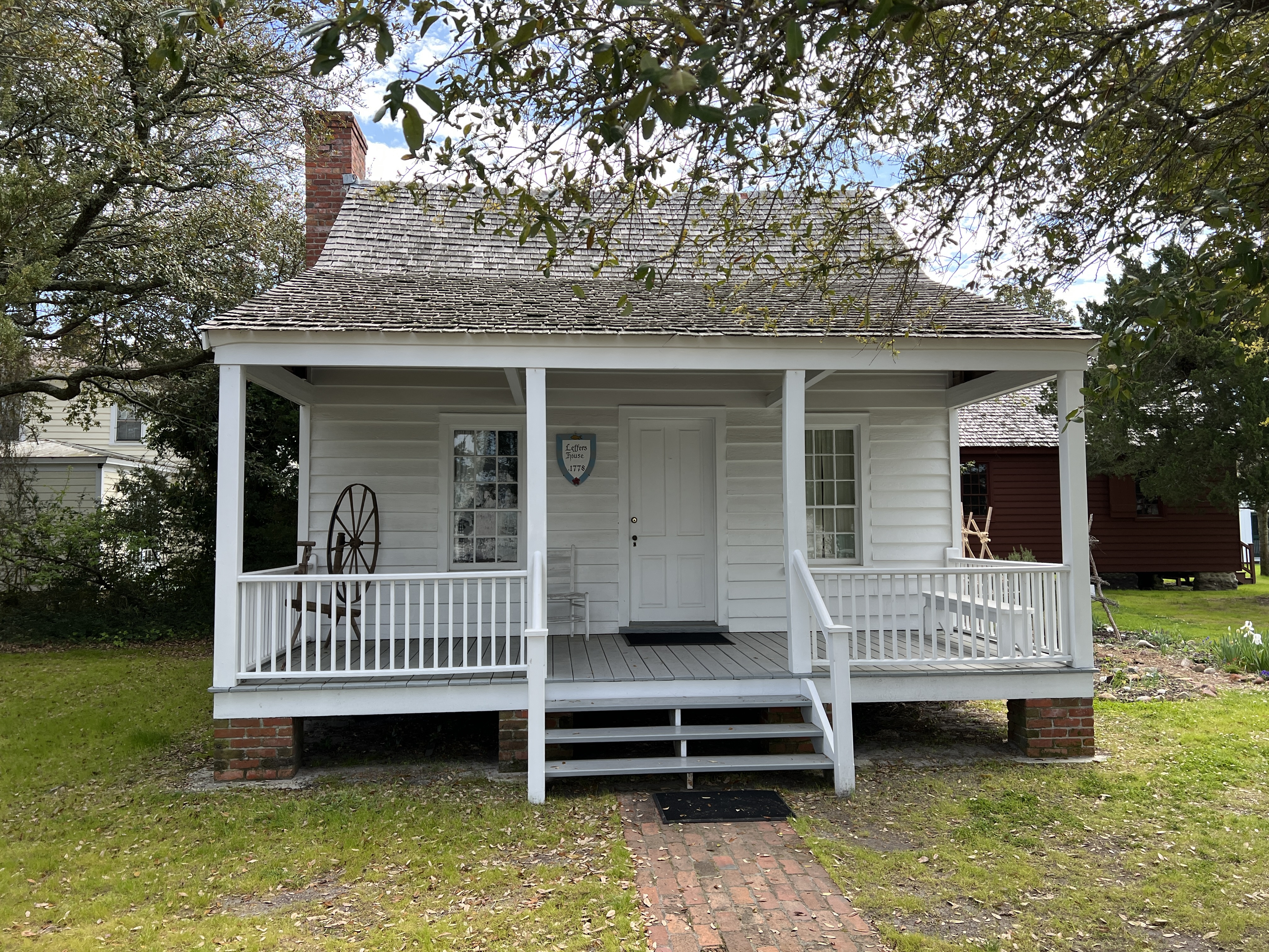
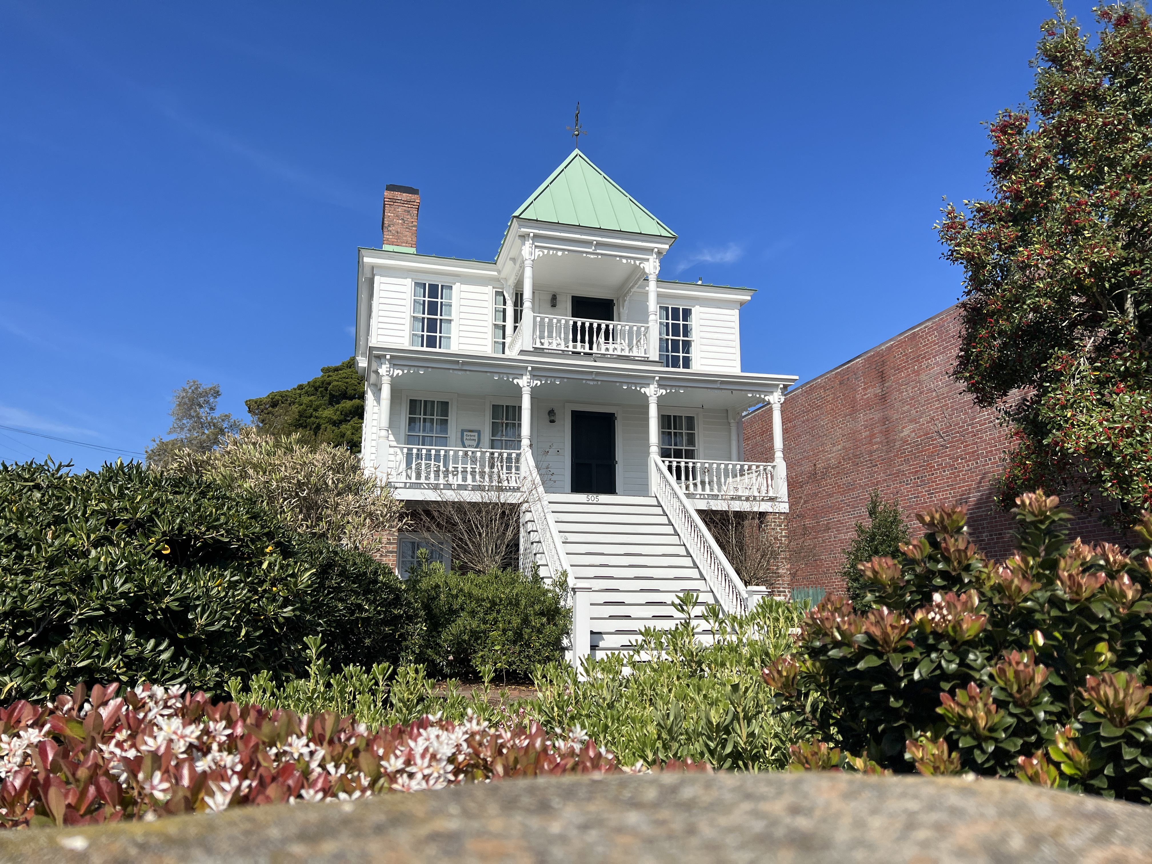
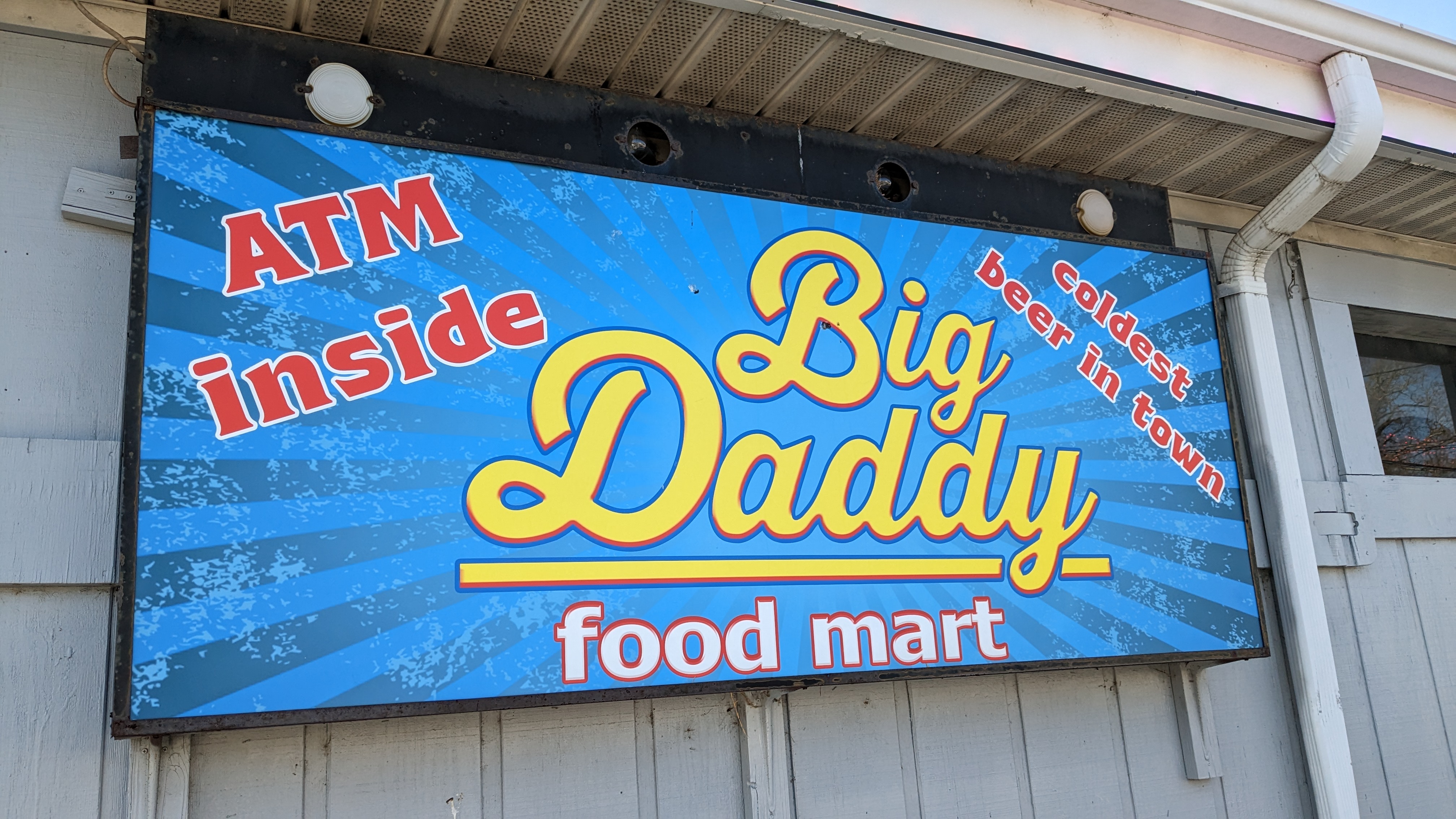
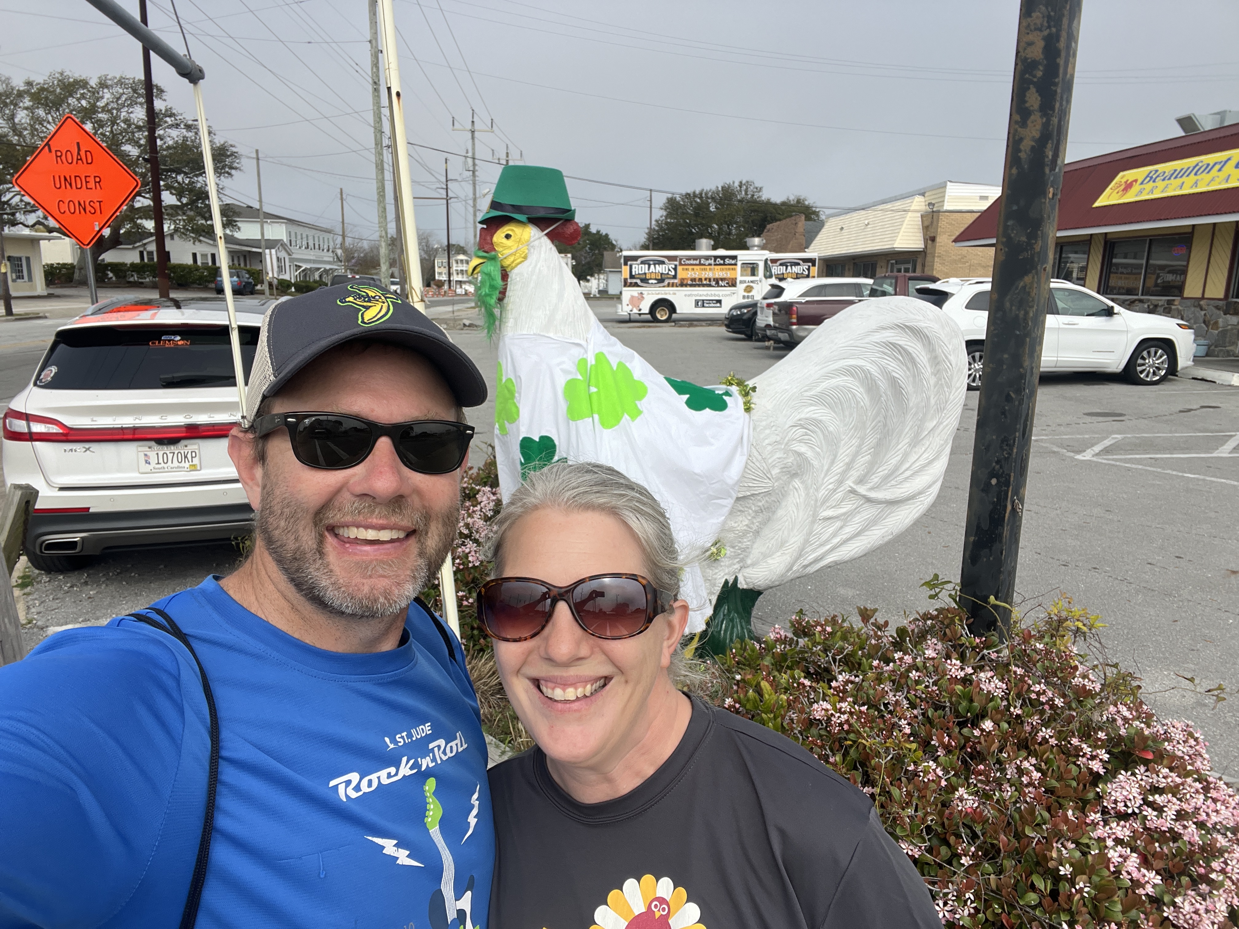
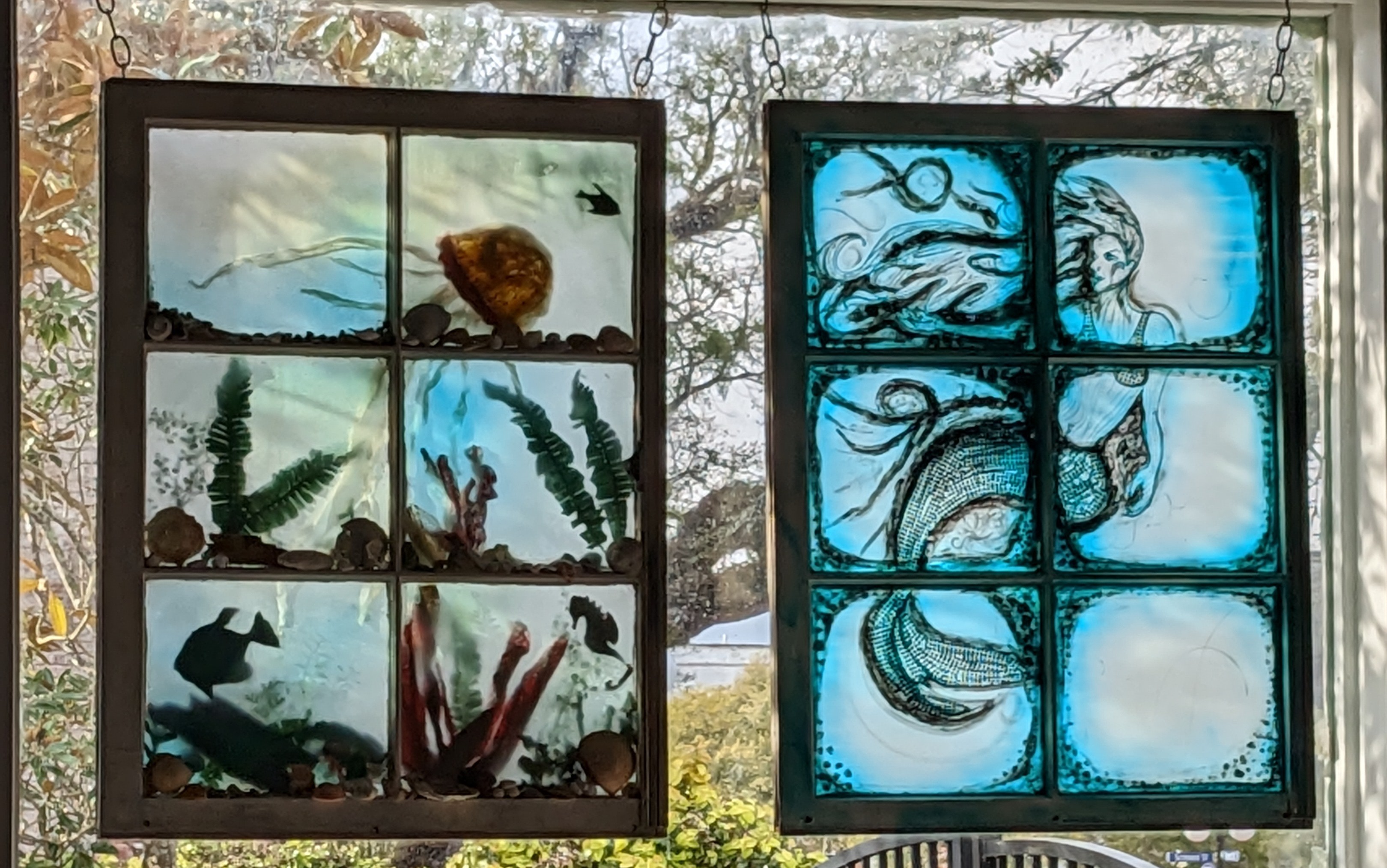
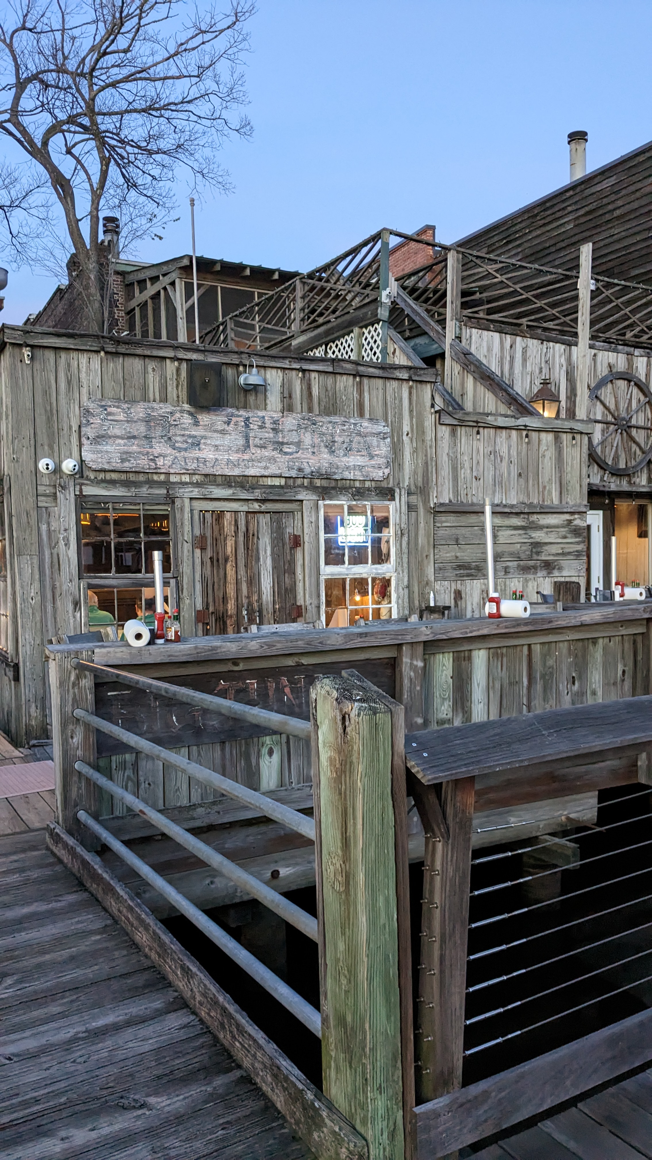
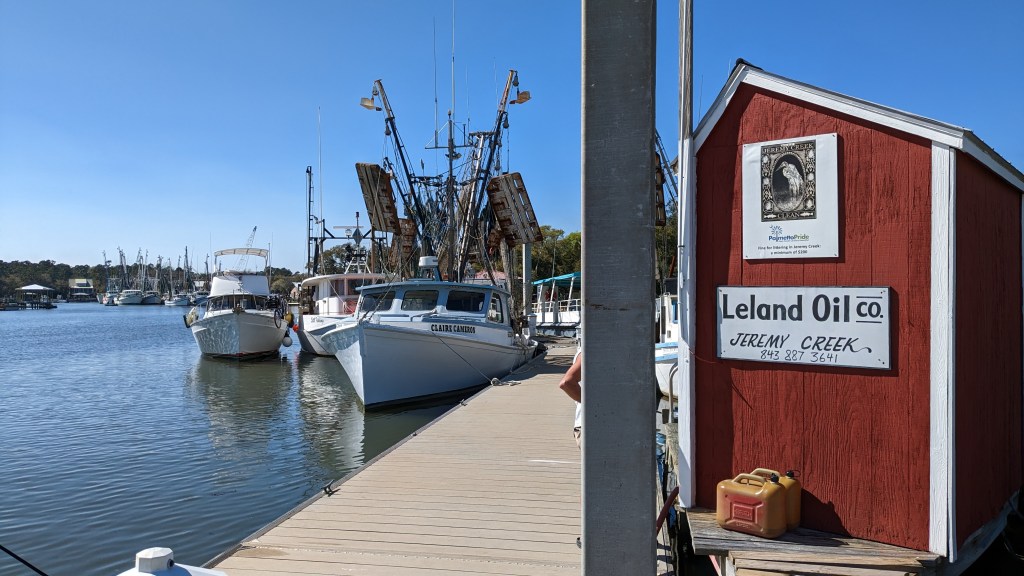
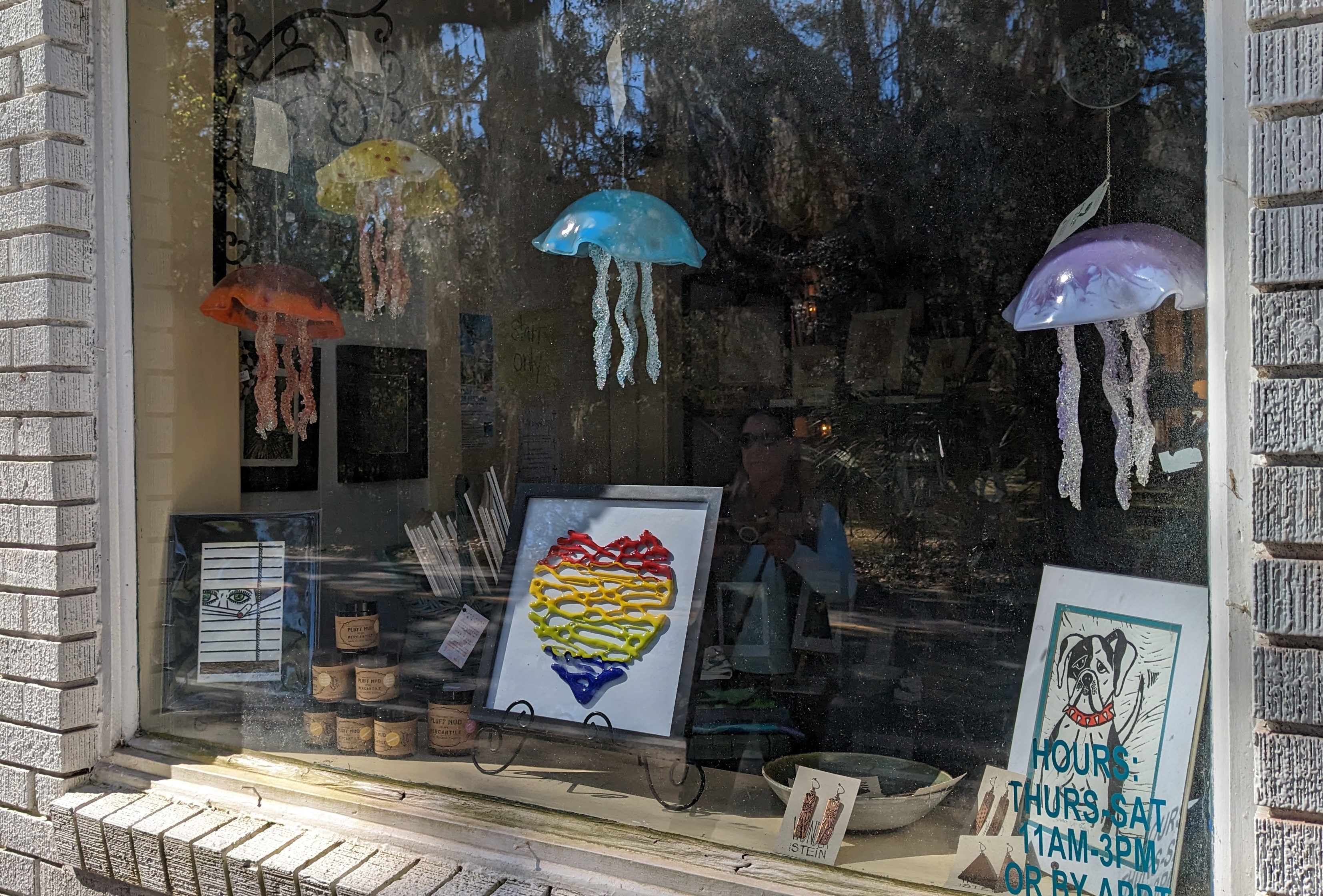
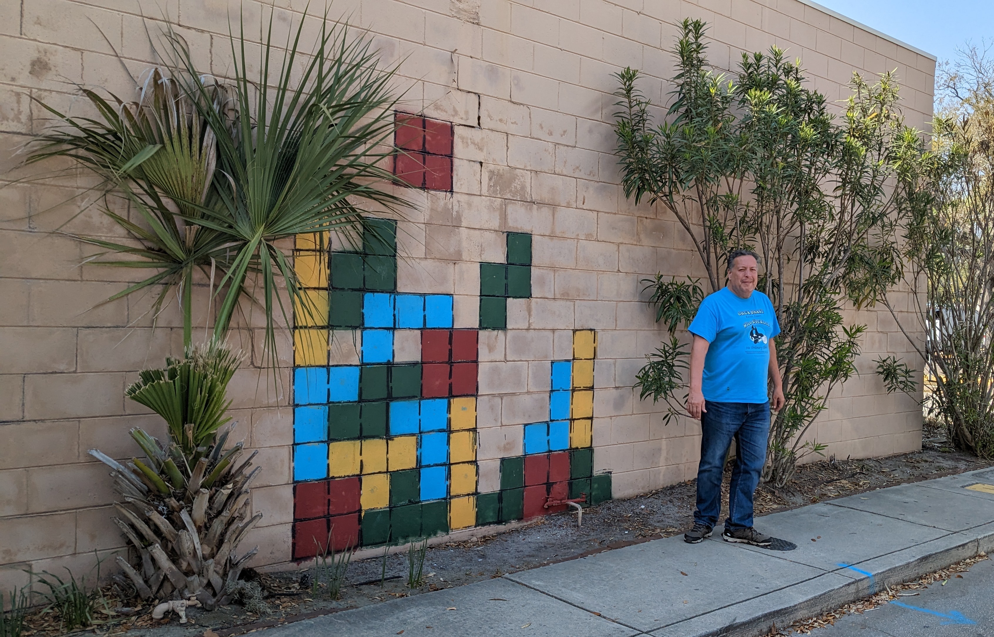
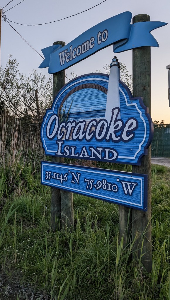
…and other sights, refreshments, and signs.


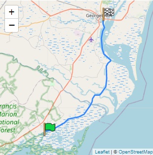
Day 70 Trip Details:
Pamlico County, US to Silver Lake Marina, Ocracoke, US
Time 4 h 41 m (09:14 to 13:55)
Distance: 69.33 nm